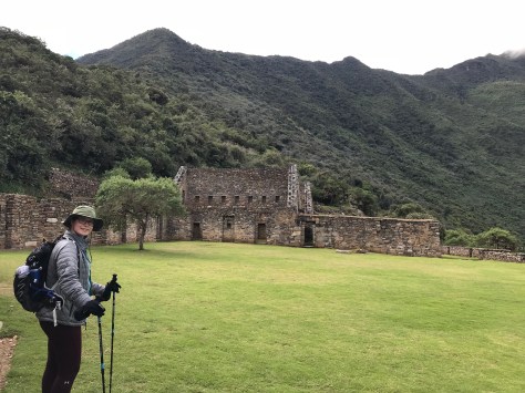
One of the perks of hiking for two days and then getting up at 5 AM is the opportunity to have a world-class archeological site entirely to oneself for nearly two hours. And what a site it is!
The Incas clearly cared about aesthetic design in harmony with the landscape and laid out their cities accordingly, which is why they make for such stunning photographs.

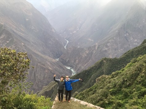
Choquequirau is possibly the last city built by the Incas. The name translates as “golden place”, in reference to its perfect location with line-of-sight views to multiple sacred peaks and surrounded by a bend of the sacred river in the valley deep below. (The greedy Spanish conquistadors heard this name and leapt to their own conclusions – but luckily though they searched they never found it.)
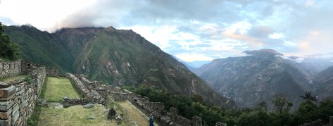
To date, archeologists have only uncovered about 35-40% of the site’s structures, but those that have been restored reveal the awesome beauty of the site. The entire city is located on a mountain spur that juts into the river’s course. The center of the site consists of an elegant and welcoming plaza surrounded by multiple buildings situated on a saddle of the mountain ridge. Above, the spur’s peak is flattened into a round walled platform used for ceremonies but also affording an unbelievable 360 degree panorama.
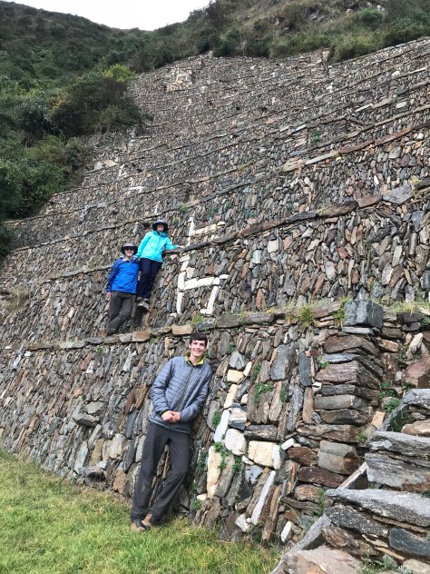
Other parts of the site include a temple with ritual baths, granaries and food storage rooms, a viewing chamber for sacred mummies, and a large guest house for travelers coming and going on the Inca road system. Both flanks of the steep mountain saddle are extensively terraced; some were used for agriculture but others leave us still guessing as to their exact purpose. Of the latter, the Llama Terraces are the most impressive. Although they are situated at quite a hike down from the main plaza (Susannah counted over 500 stone steps) they seem to hang suspended off the mountain, and one feels that a single leap could reach the foaming river far below. Their name comes from the white llama images embedded in the stonework.
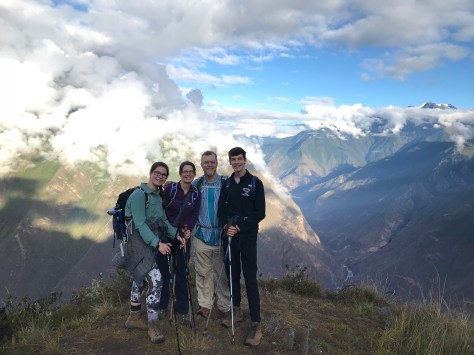
Backing up, we should fill in a little about the journey that brought us to this destination. We did in fact get up at 5 AM (in the dark) on the second day and left camp only shortly after our planned 6 AM departure in the dawning light. What followed was a 4000 foot climb – enough said about that! Good thing there were occasional benches to rest on (and take in more views).
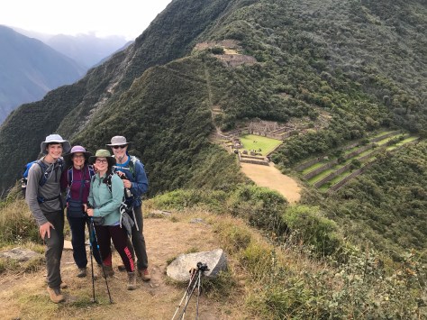
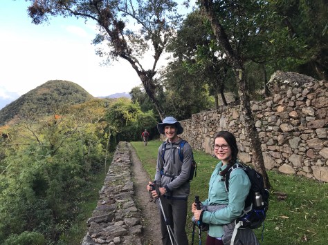
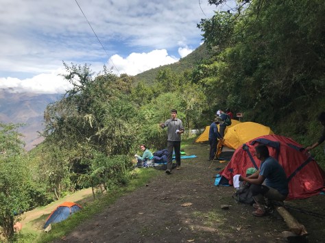
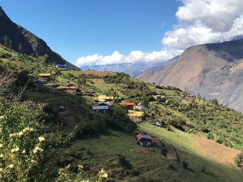
The path leveled out near the tiny but charming village of Marampata – off grid, off road, and home to about 15 families. From there, a further 2.5 hour traverse led us to the official Choquequira campground, 40 minutes below the ruins themselves. After an elegant lunch, we explored the ruins that afternoon and again the next morning.
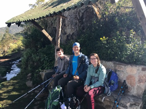
The return trip was simply the reverse of these steps, back to Marampata (photo below), all the way down to the river this time, and partway back up to end day 3. We reacted Chiquisca campground shortly after dark.
Our journey was not completed without some hardships, and nobody emerged completely unscathed. Rowan’s feet blistered on the first day and they became increasingly painful as she walked further on them. Susannah acquired a mild head cold, which she treated with anise tea and honey. Both Ben and Nick had some stomach troubles (low electrolytes? battle with the local microfauna?). Nick’s came on so suddenly that our guide Fermin called it a “mal viento”, or bad wind, and prescribed an inhalation of crushed Andean mint that conveniently grew right along the trail side.
Despite the challenges inherent in visiting Choquequirao, the remoteness was an important part of its charm. Future visitors to the site could have a very different experience because there is talk of building a tramway that could someday deliver up to 3000 people a day. We agree that Choquequirao should be more widely shared with the world, but we feel so privileged to have seen it in its current form, with no more than a handful of backpackers.