The Tongariro Alpine Crossing is widely known as New Zealand’s best one-day hike, but on any given day it may also be its worst: the weather can be uncooperative in all sorts of ways, including temperature, wind, precipitation, and low visibility. When the weather is bad, the hike closes and nobody goes through. So we were understandably nervous given that our schedule allowed only one open day to attempt the crossing — if the mountain said no, we wouldn’t be able to go. Two days ago it was impassable for rain, wind, and visibility; yesterday the weather was iffy all day. This morning the weather was relatively calm and dry, with visibility forecast to improve throughout the day. The mountain said yes!
Tongariro National Park is New Zealand’s oldest, established in 1887 — five years after Yellowstone in the United States. It is also known for its role in the Lord of the Rings movies; multiple scenes were shot here, including the climactic moments with Sam and Frodo on Mount Doom. The volcano last erupted in 2012 (on Susannah’s birthday, of all dates!), spewing rocks high into the air from Te Maari crater. We passed by the pit left where one had landed; it was several meters across. On our own hike, things seemed mostly quiet aside from some steaming fumaroles. We did hear a loud boom at one point that had us looking around nervously, but saw and heard no other activity.
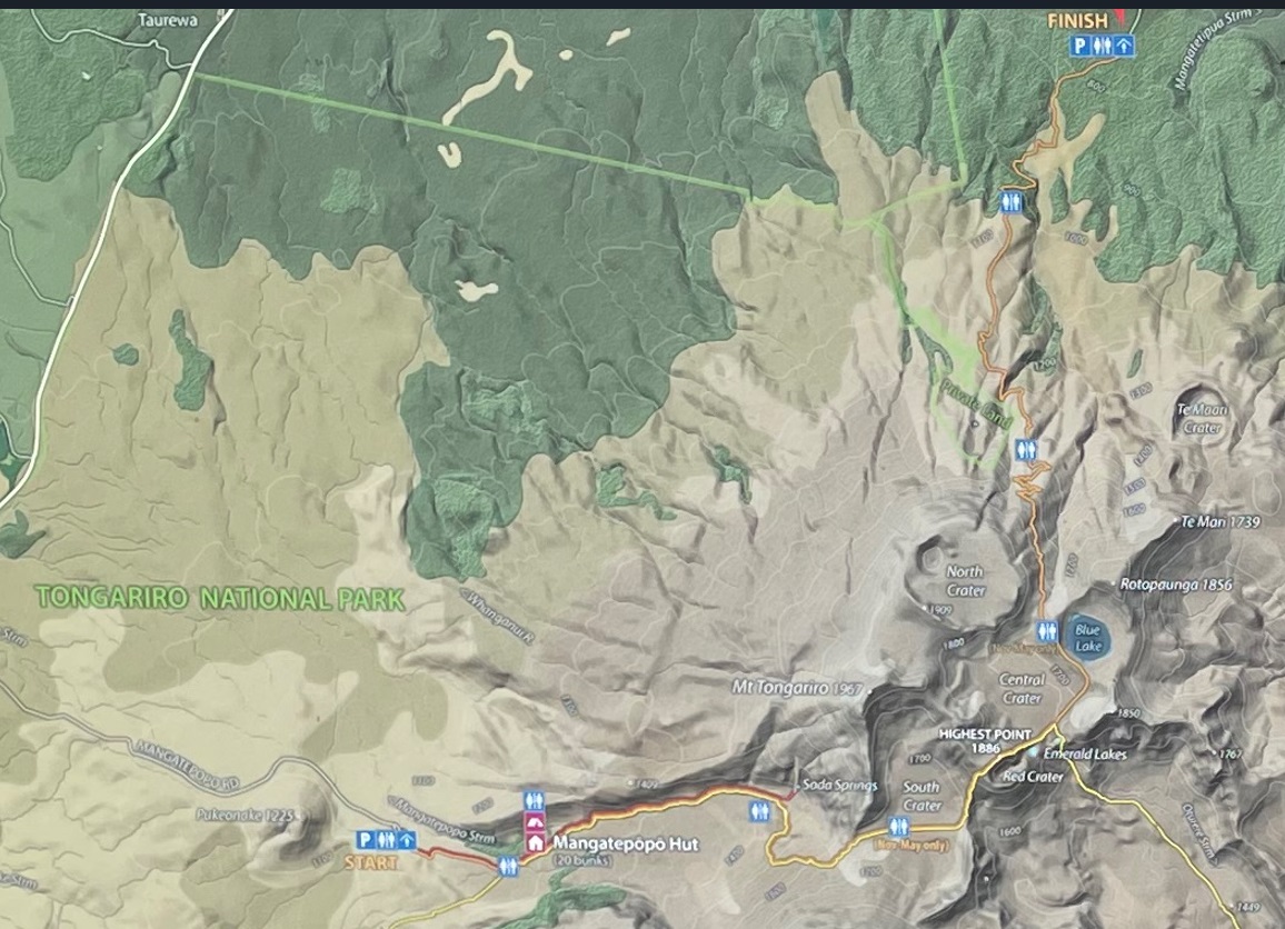
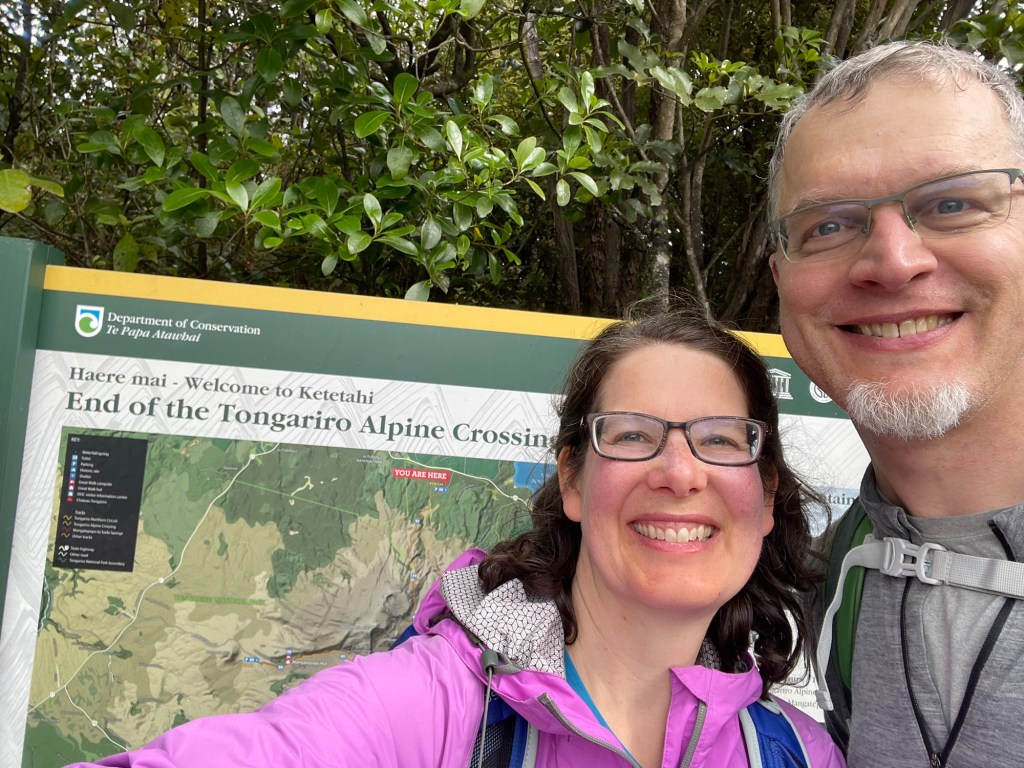
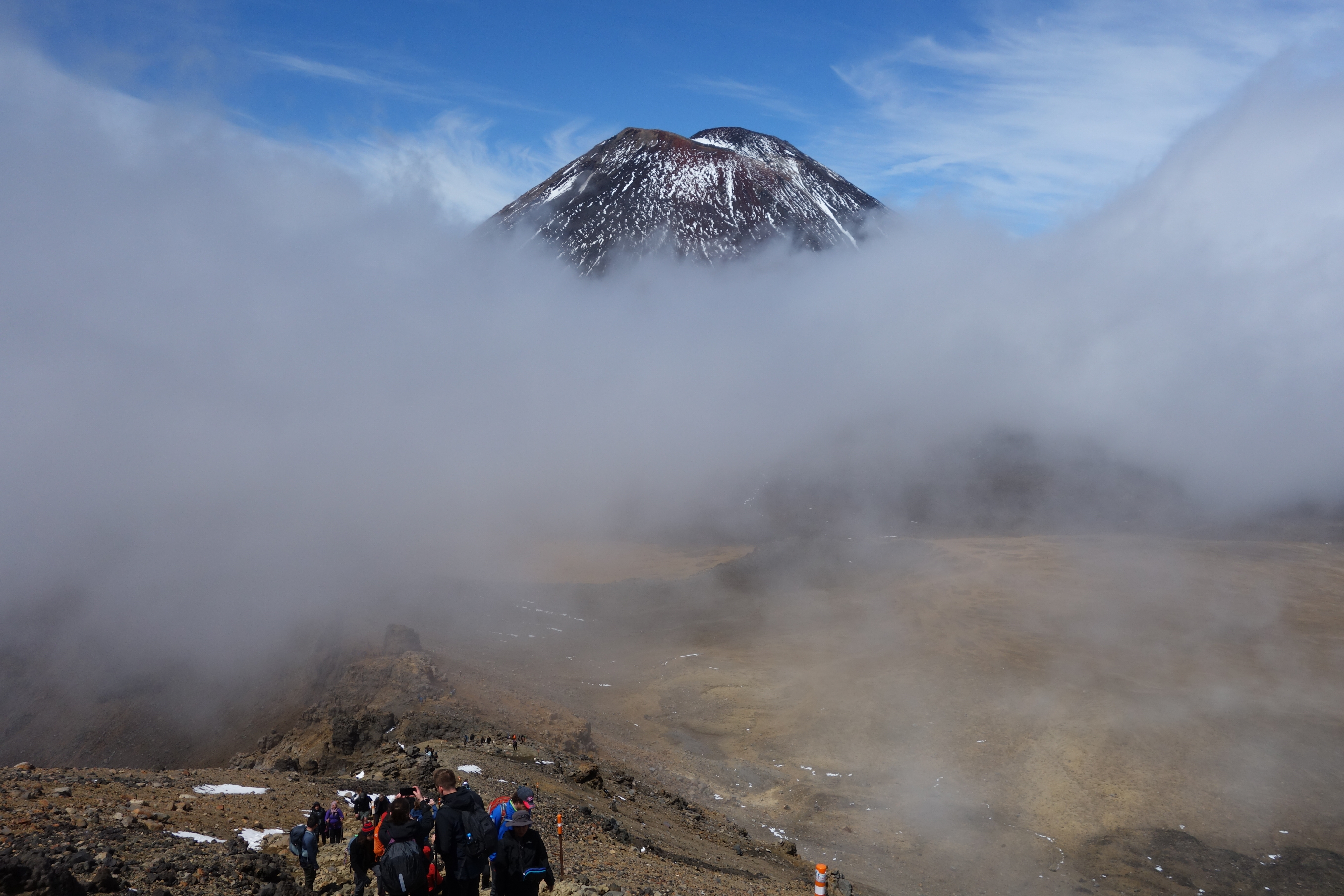
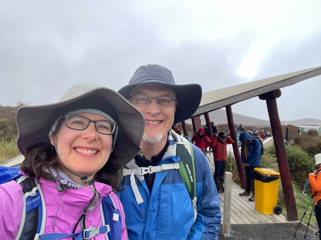
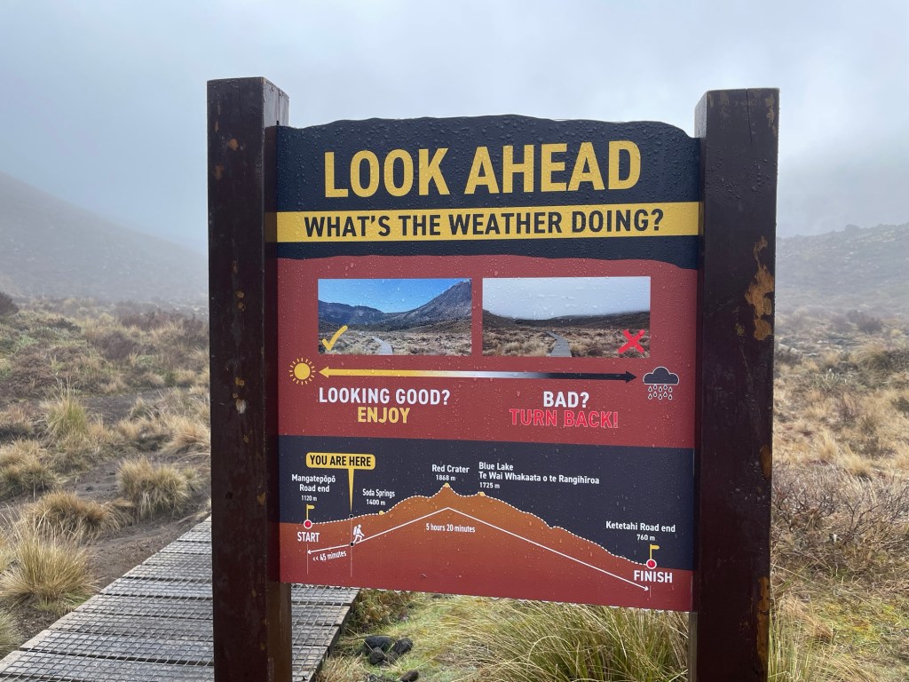
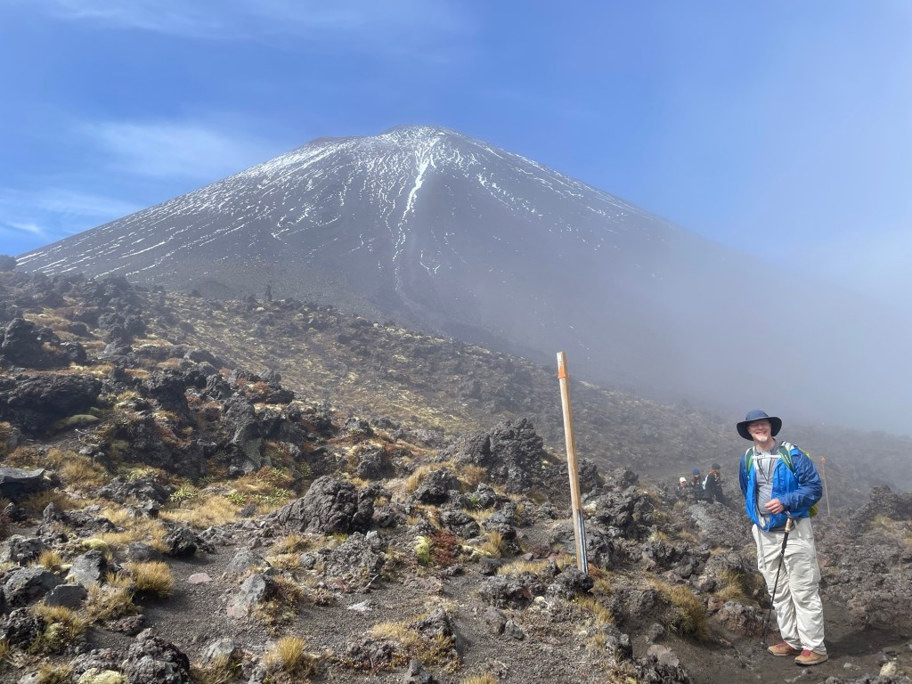
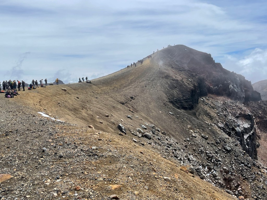
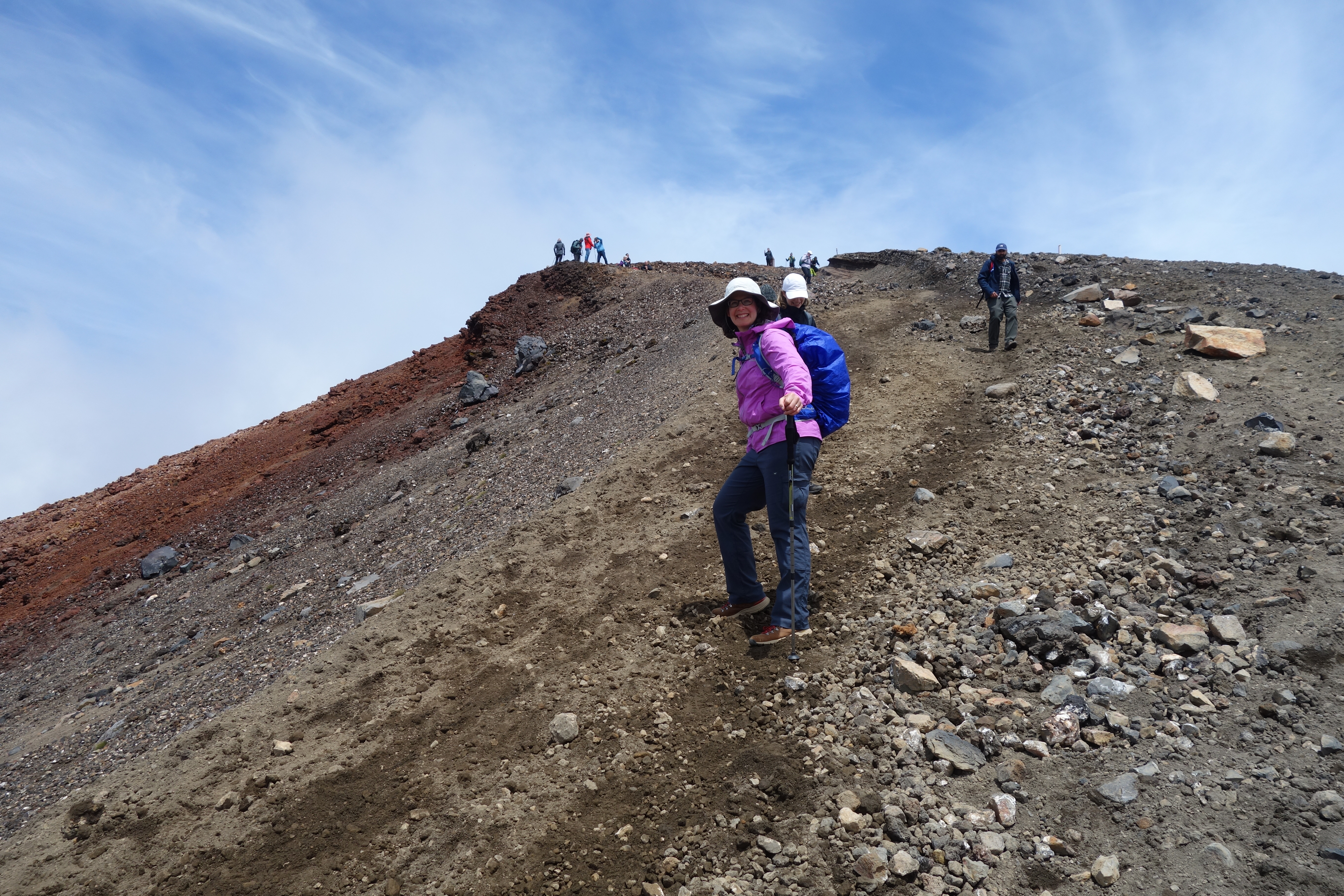
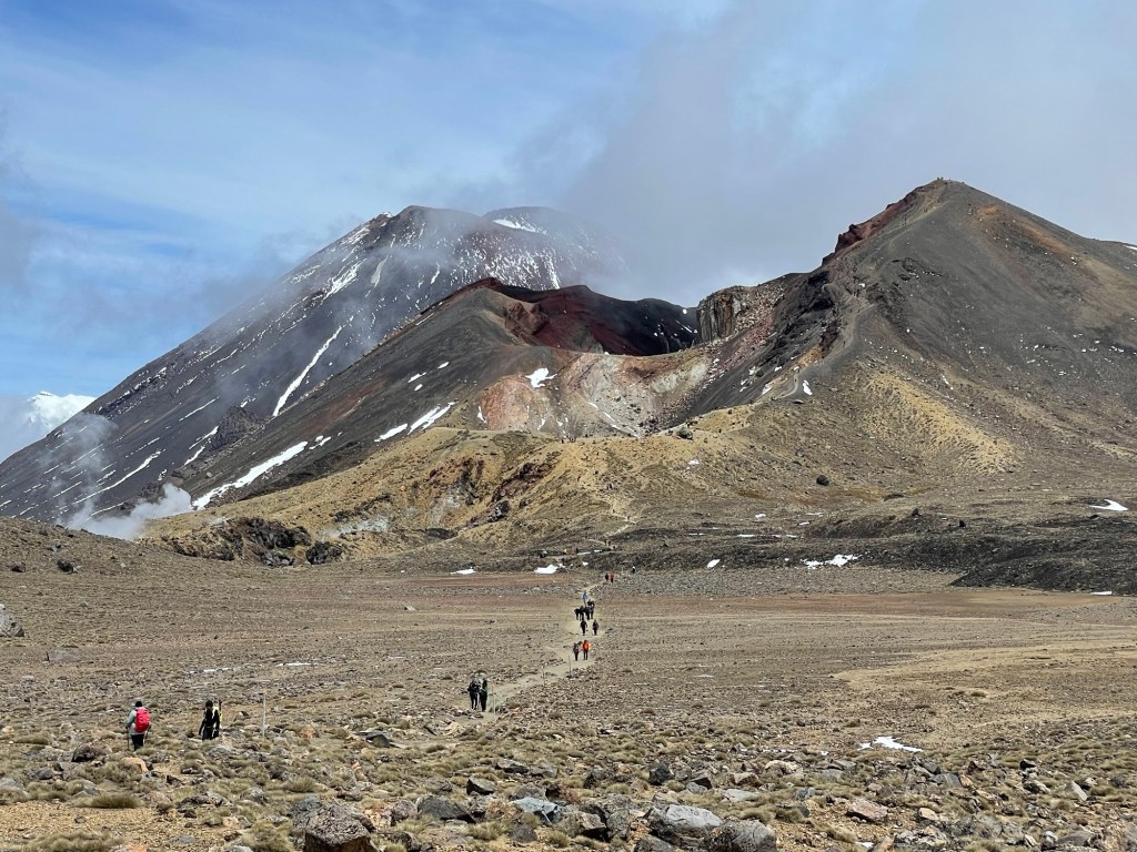
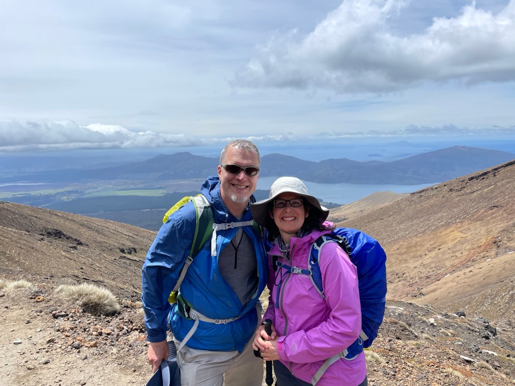
We were up before 6 am so as to get a timely start. The trail crosses from one side of the Tongariro range to the other, and is about 20 km long. Most people park on the northeast side and hire a shuttle service to bring them to the trailhead on the southwest side, so that the hike takes them back to their cars. The trail is extremely popular: around 150,000 people hike it each year. Given the limited number of days when the trail is open, that means potentially a thousand or more hikers on any given day. It certainly felt at times more like a mass migration than a wilderness hike — for the first half of the day it was rare not to see any other hikers, and many times we could see groups of 20 or more at once. With so many people it is inevitable that some will be less prepared than others. Although we were dressed in good outdoor gear and had brought plenty of warm clothing, we saw others dressed in cotton sweats and sneakers. The trail managers have posted a number of helpful signs on the mountain to help ward off trouble, encouraging people to turn back if they are feeling tired early on, or if the weather looks bad. We appreciated the irony of the sign below; despite the appearance of the trail ahead we knew that the forecast predicted that the mist would soon lift. And sure enough it did, finally clearing enough to reveal the summit of Mt. Ngauruhoe to our south.
The trail is mostly single track, but not long after the start there was a short side path we opted to follow in order to see the Soda Springs.
By the time we reached the South Crater, the mist had mostly cleared. Before it did, the flat surface of the crater felt a little like the surface of Mars, with reddish-orange soil scattered with small rocks. From the South Crater we ascended a ridge studded with hoodoos and got our first view into the valleys beyond.
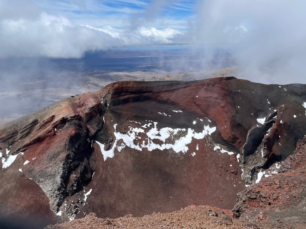
From there, we hit the steepest part of the trail, continuing up past patches of snow until we reached a ridge where many people seemed to be resting. When we got there, we had our first view of the Red Crater, where we too stopped for lunch. This crater is one of the youngest on the volcano. Its deep red color comes from a combination of iron in the rocks and extreme heating.
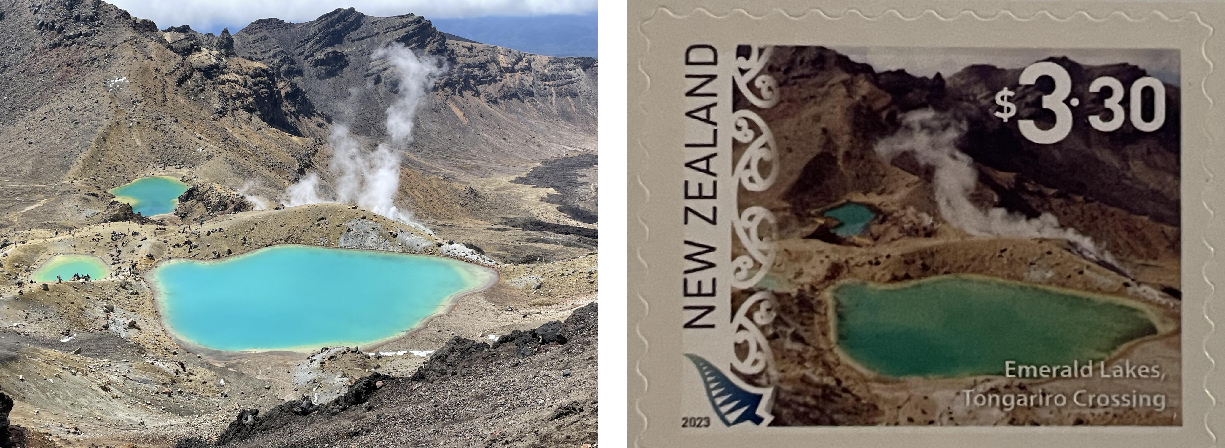
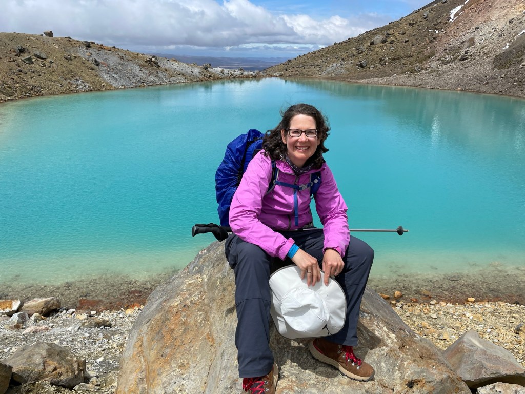
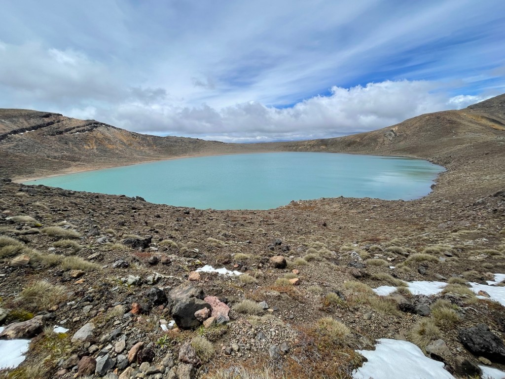
From our lunch spot it was just a short walk to the high point of the trail at 1868 meters, before a very slippery descent down the other side towards the Emerald Lakes. We were very thankful to have poles, though Susannah still managed to end up on her backside once during the descent. The Emerald Lakes are an iconic view in New Zealand, even featuring on their international postage stamps. (Do you like our photo better?)
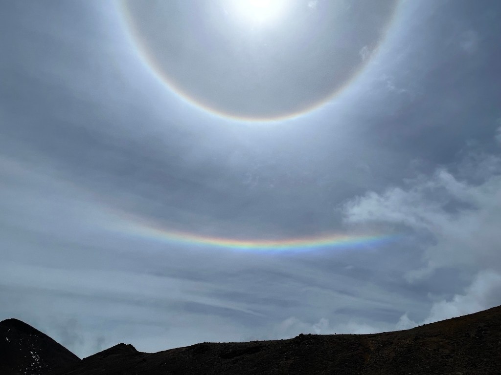
Continuing on across the North Crater, we witnessed this impressive double sunbow. Seems like a good omen! Looking backwards, we had a fine view of the Red Crater and Ngauruhoe behind it, before ascending the crater rim to reach the edge of Blue Lake.
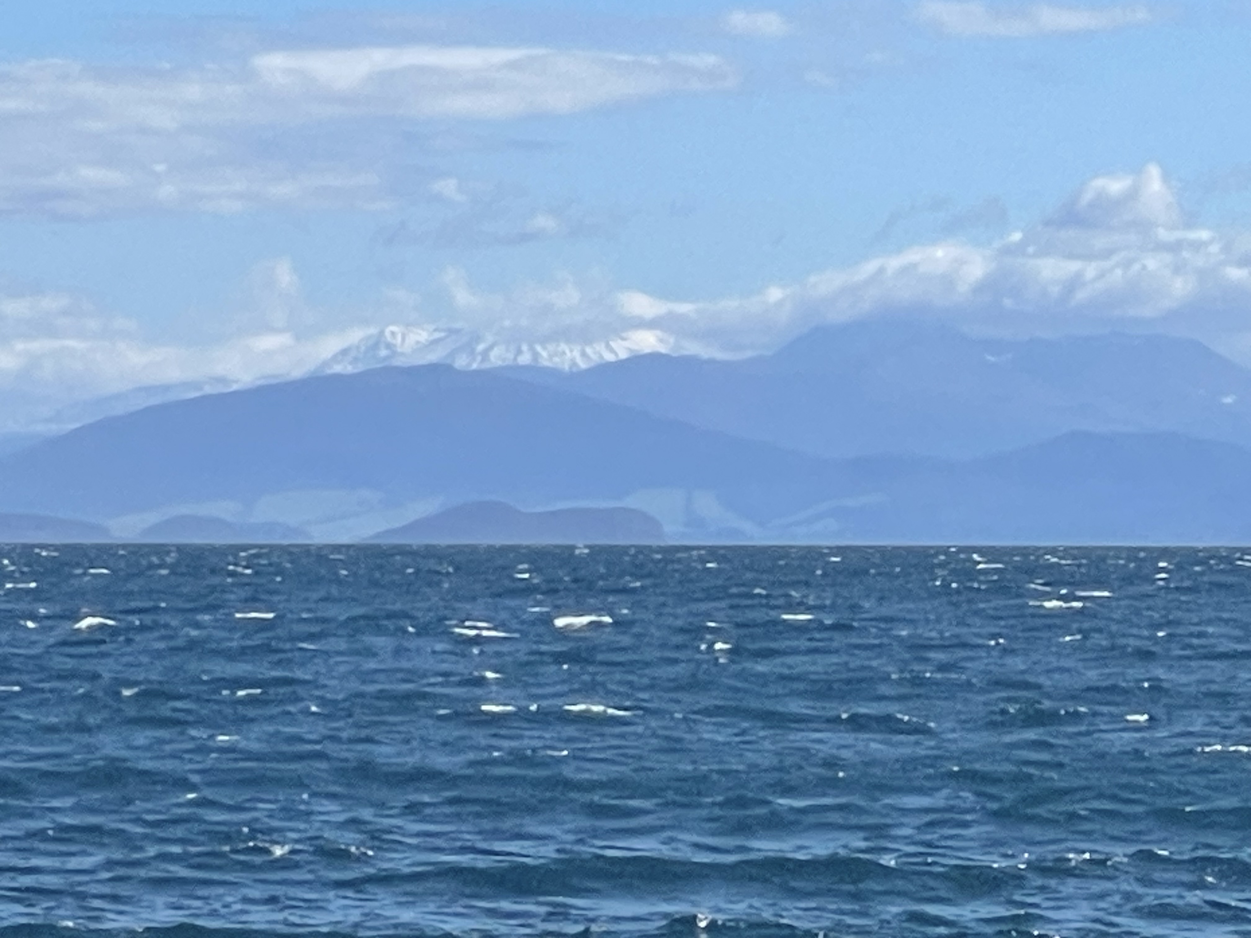
Shortly after Blue Lake we climbed over a pass and opened up a new vista to the north. That’s Lake Taupo in the distance, with the smaller Lake Rotoaira in front of it. Our kayak trip the day before was on the north (farther) shore of Lake Taupo; as it happens, that day we also took a picture of Mount Tongariro from the lake.
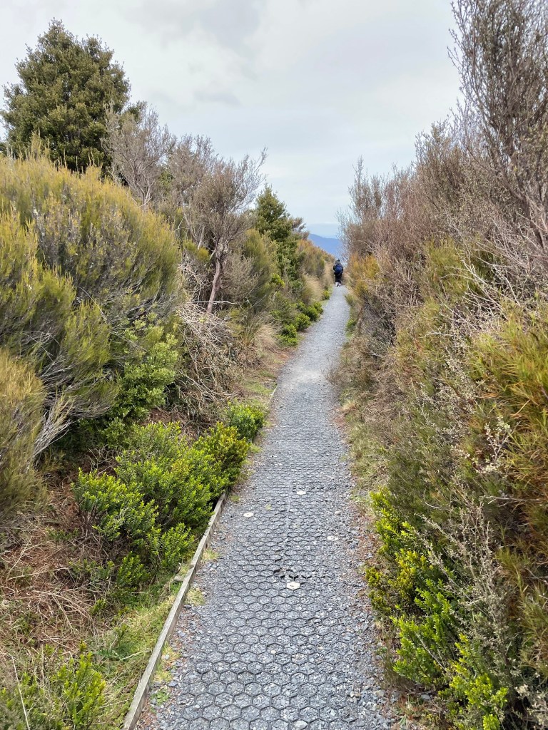
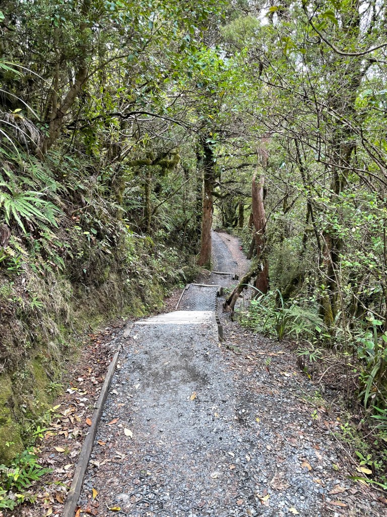
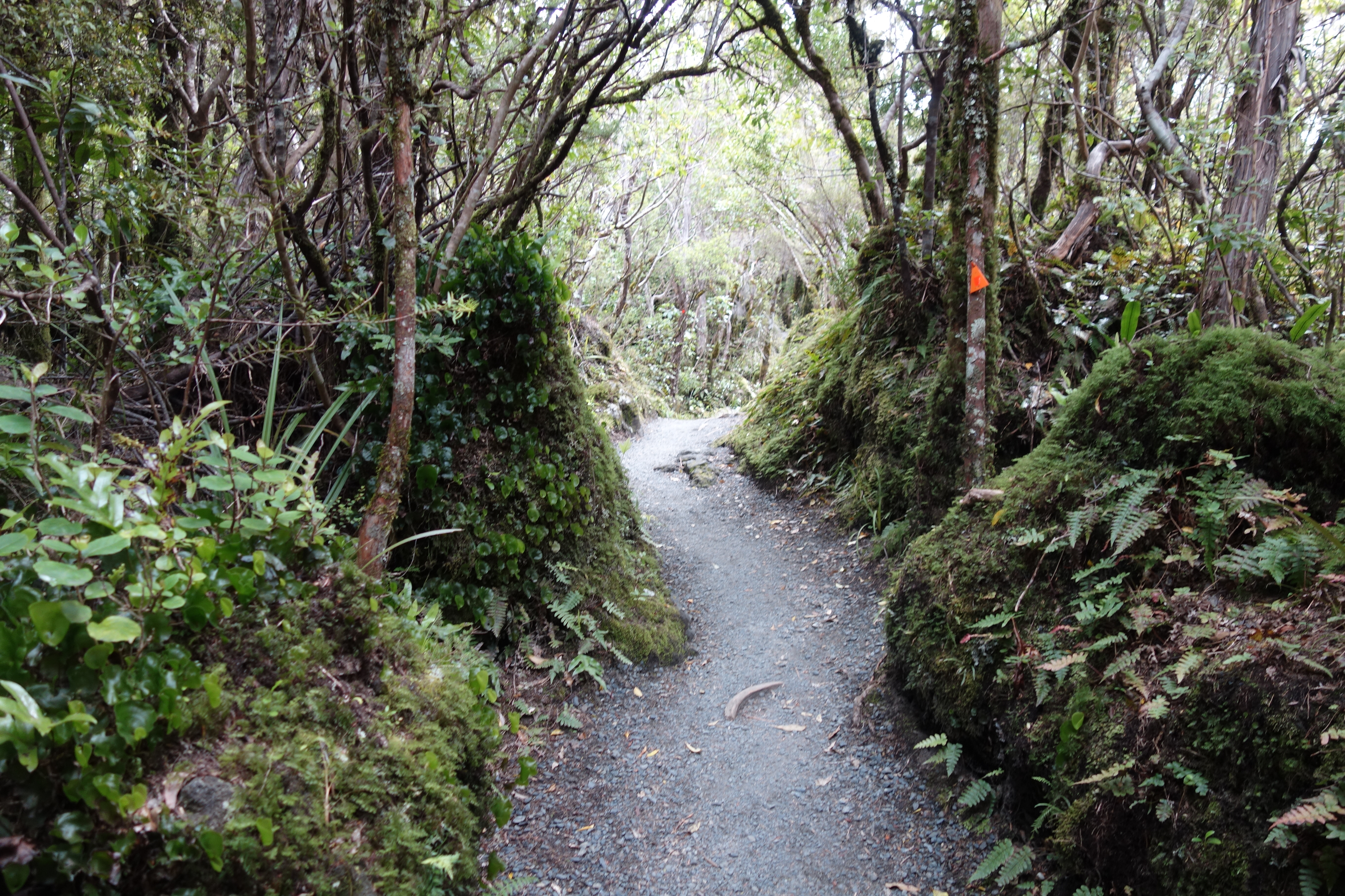
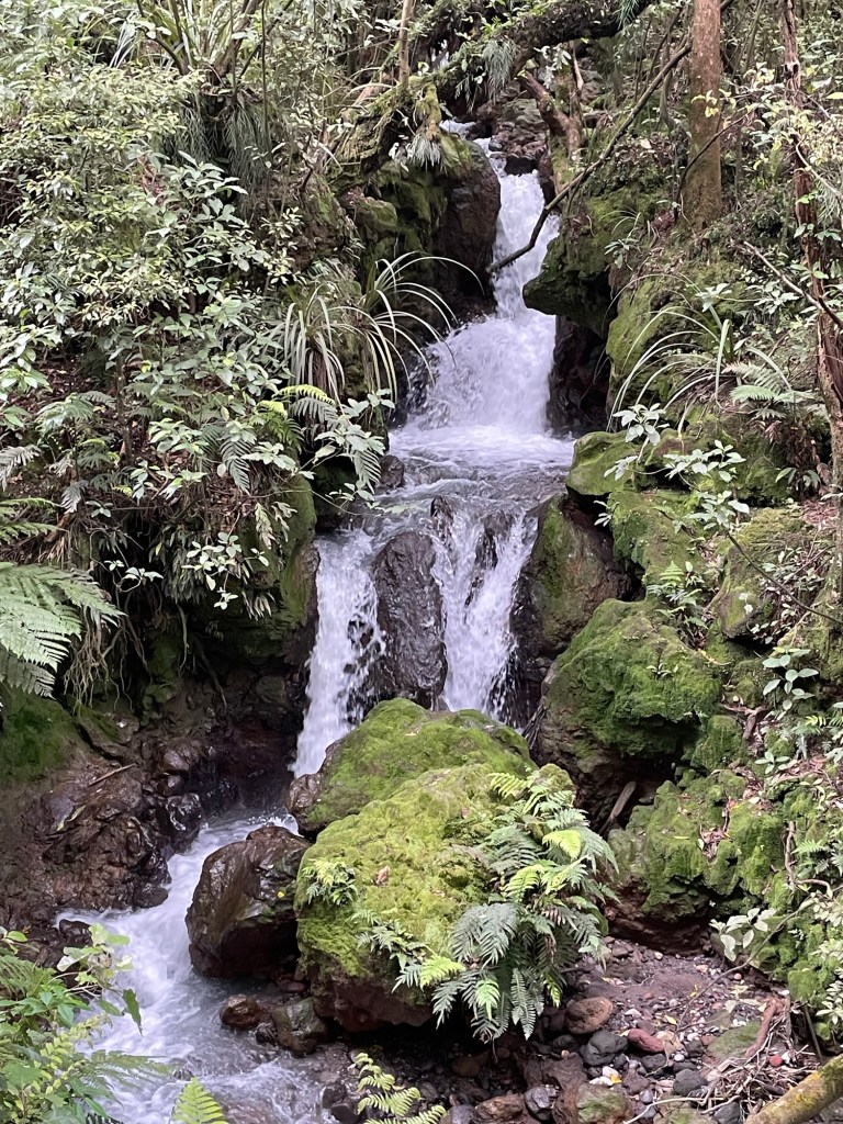
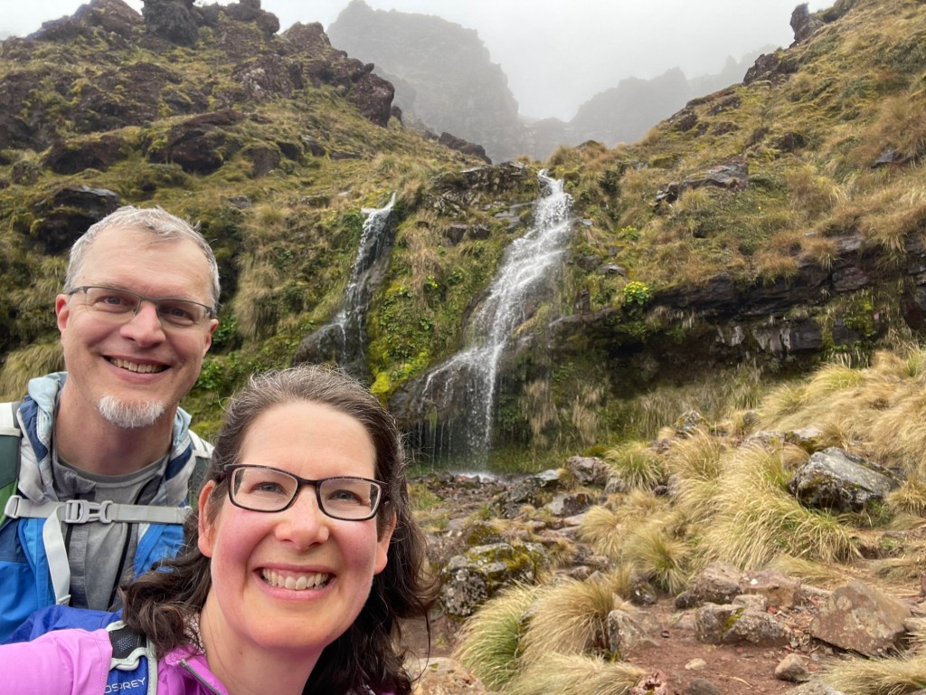
The trail down from Tongariro descends over 1100 meters. At the start we were in an alpine zone, with only short hardy plants growing low to the ground. As we continued, a brushy zone grew up around us, and then rather suddenly we found ourselves in a bush forest again, with tall trees, many ferns, and moss on seemingly every surface. Soon we were following a rushing mountain stream. Despite its beauty, signposts told us that several times in recent history, the valley had seen deadly lahars pouring down it — mixtures of mud, water, and rock that smother everything in their path. Fortunately, none decided to visit today.