Hot Water Beach

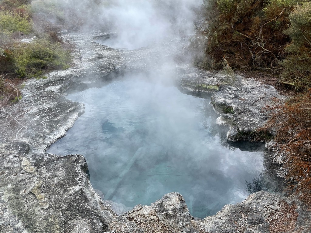
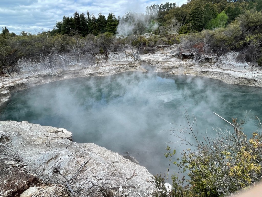
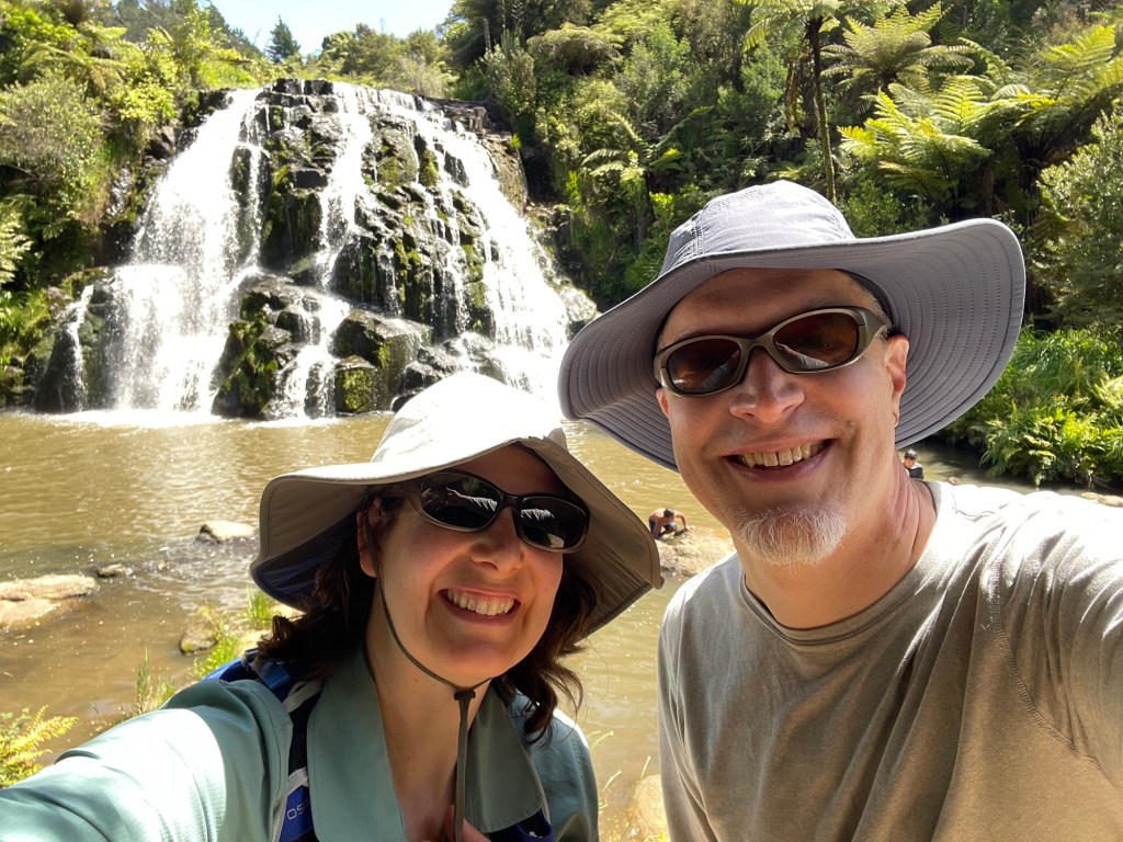
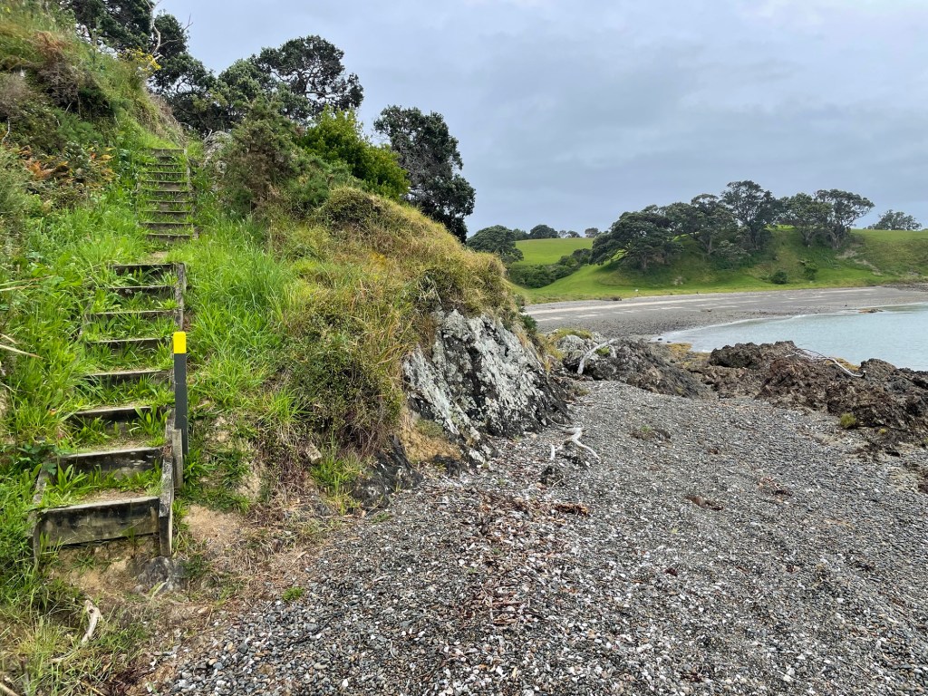
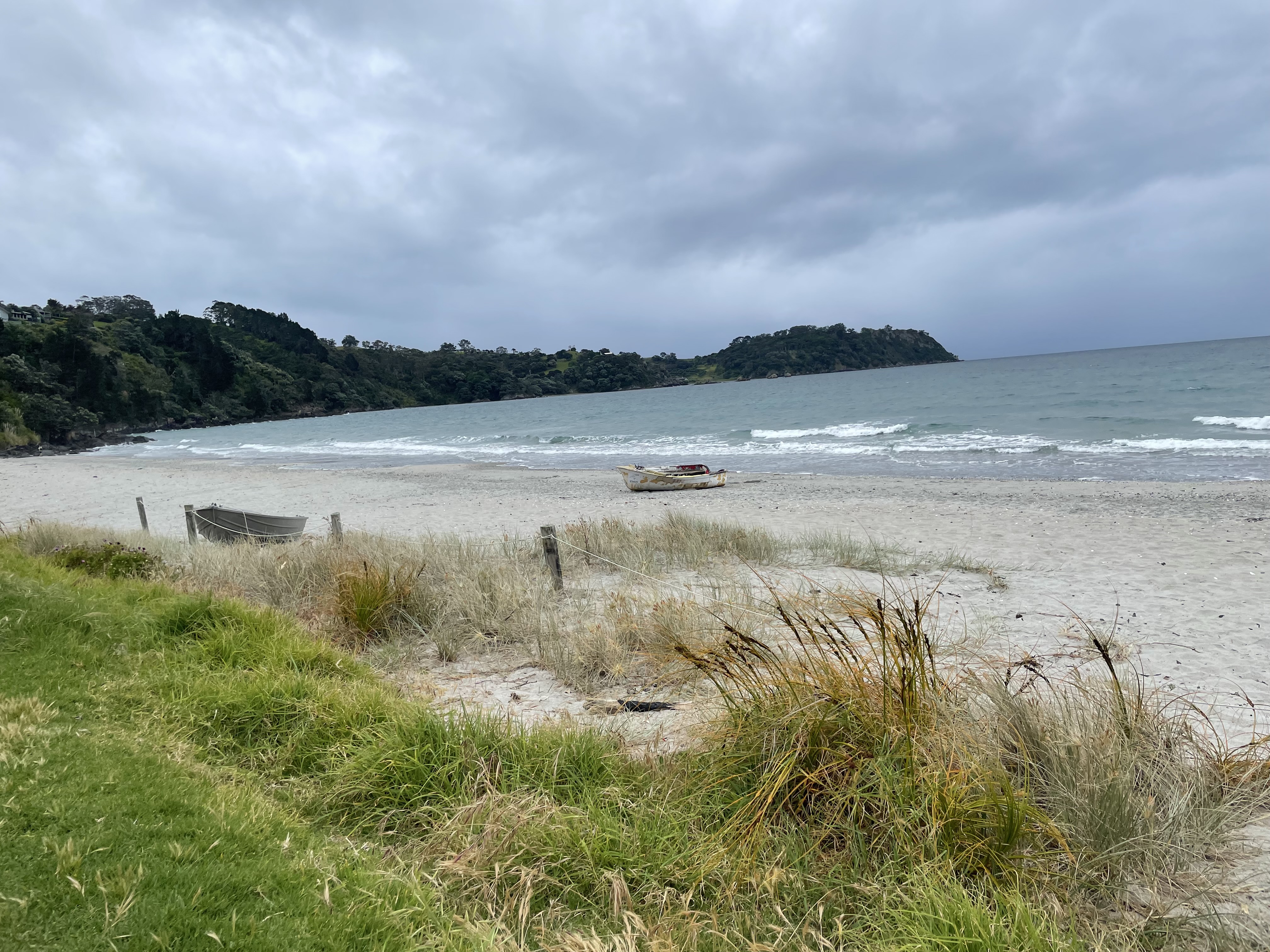
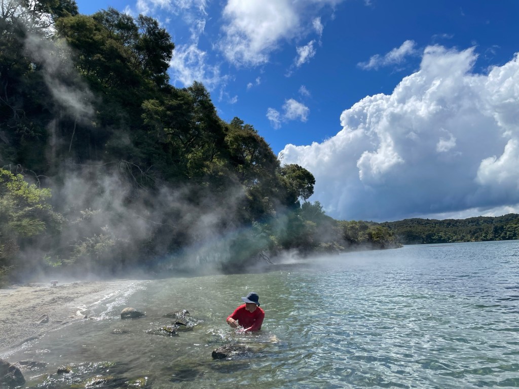
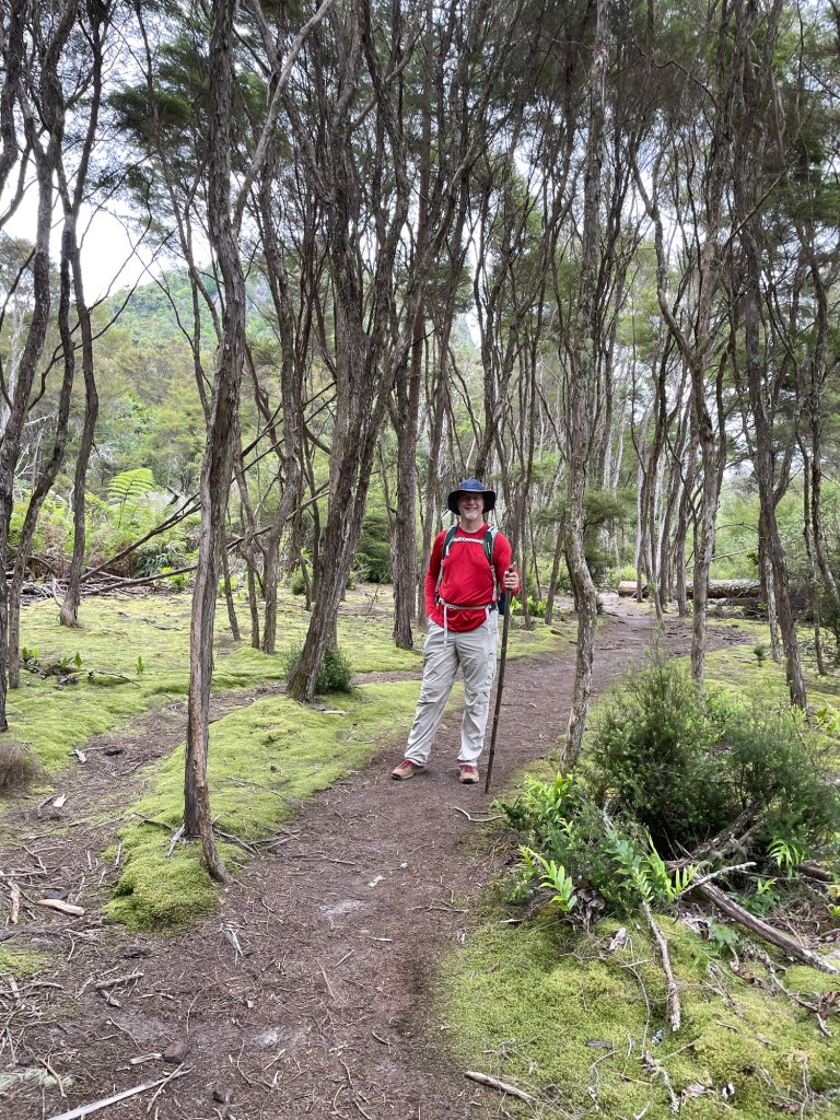
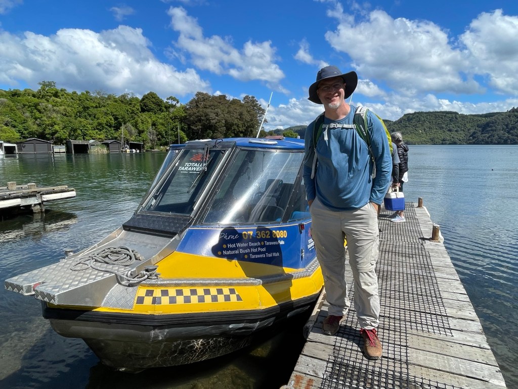
A hot water beach is exactly what it sounds like: the sand and water are geothermally heated from below.  For those in know, there exists such a beach with a nearby campground on Lake Tarawera, but it’s only accessible by water or by 9-mile tramping track.  A DIY spa?  Sounds worth the trek! 

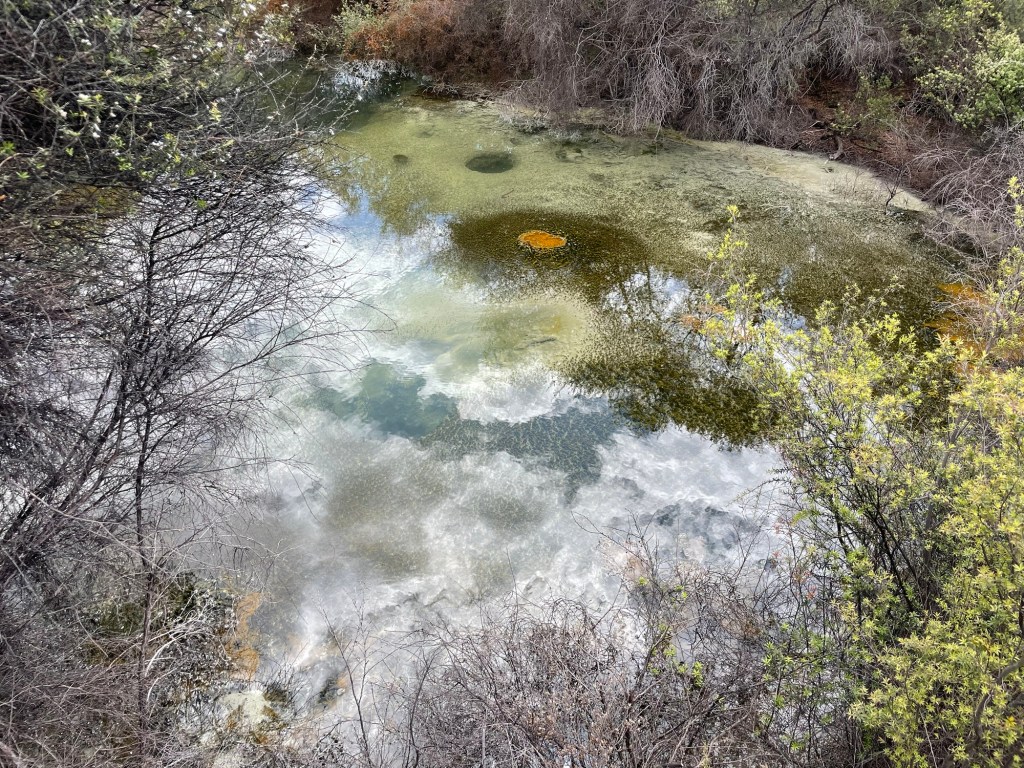
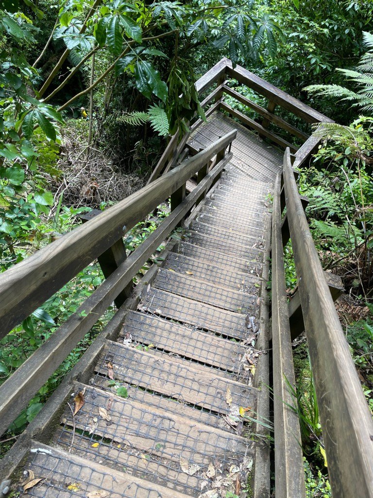
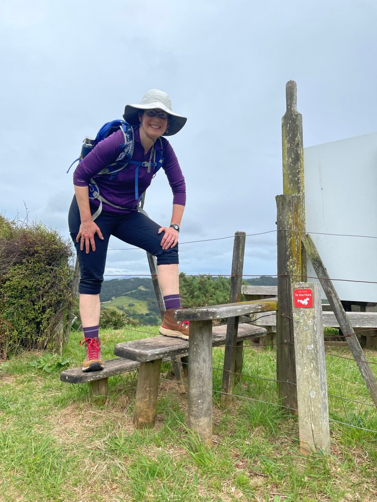
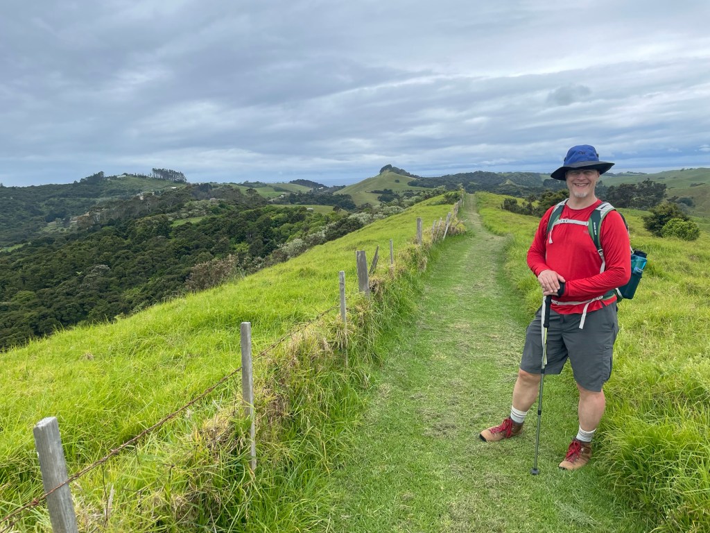
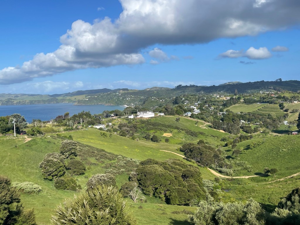
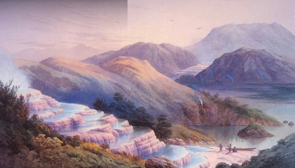
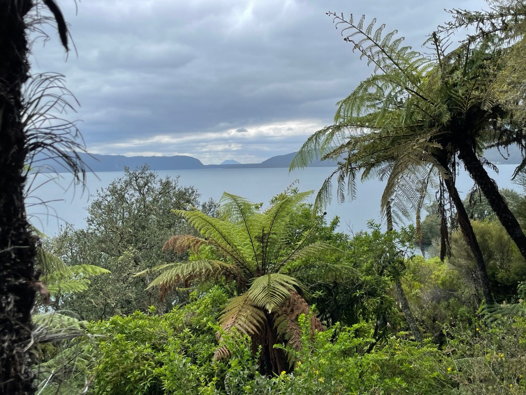
The hike in is actually very lovely and even comes with its own custom app that narrates the sights and the history as you go.  Lake Tarawera was the site of an early tourism boom in the mid-1800s, drawing travelers from around the world to see the fabled pink and white terraces.  We were a little late to see them, unfortunately; they were completely destroyed in the 1886 eruption of Mount Tarawera, which also buried the local village in ash, Pompei-style.  (We’re on the Ring of Fire here; Mount Tarawera is one of seven active volcanoes in this region.)

Painting of the pink and white terraces by J. C. Hoyte

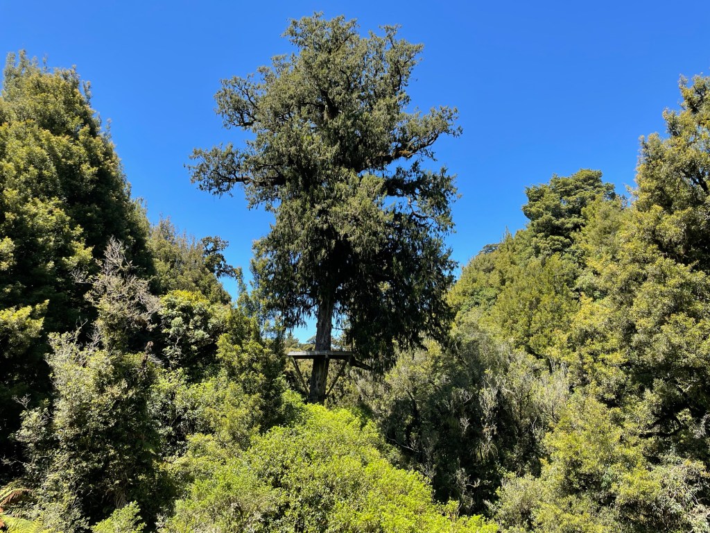
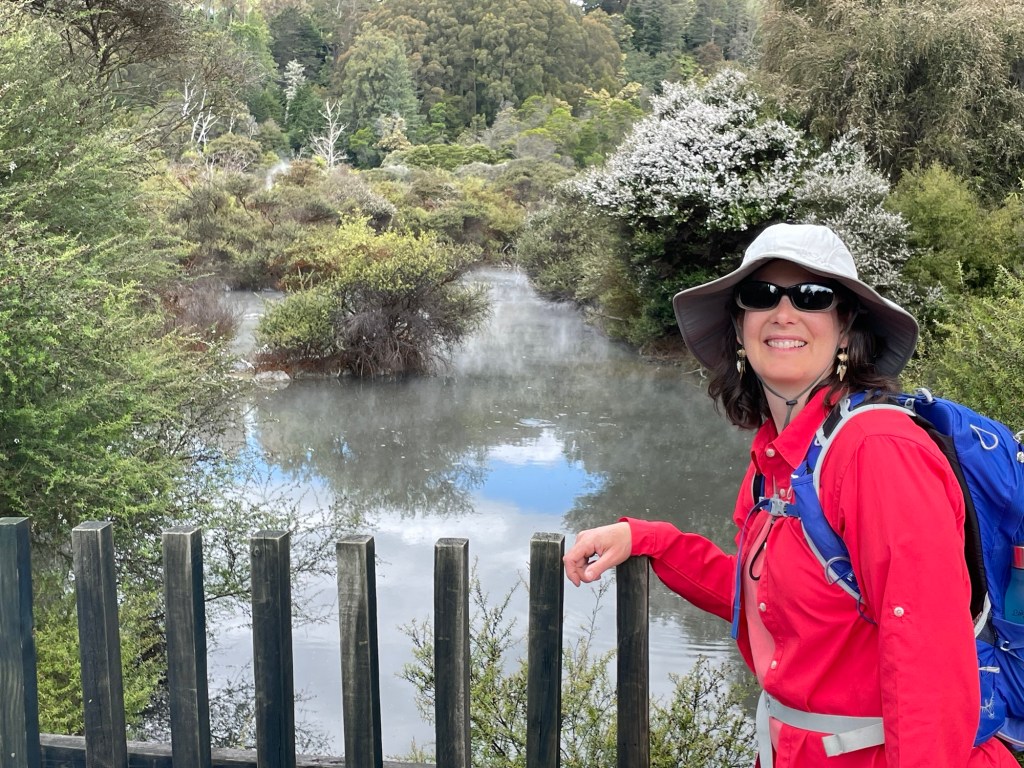
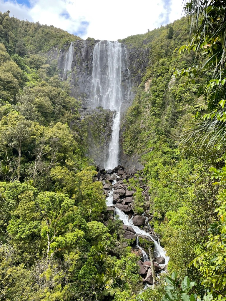
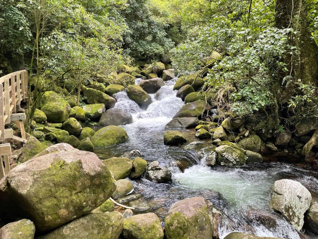
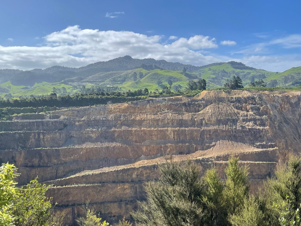
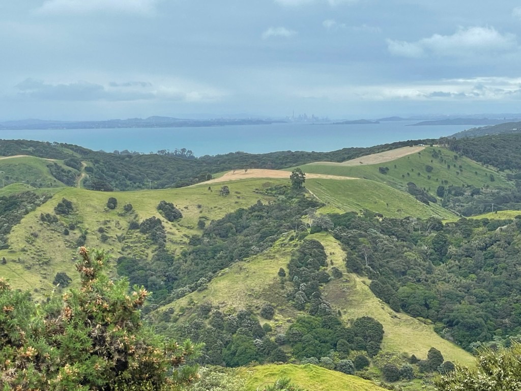
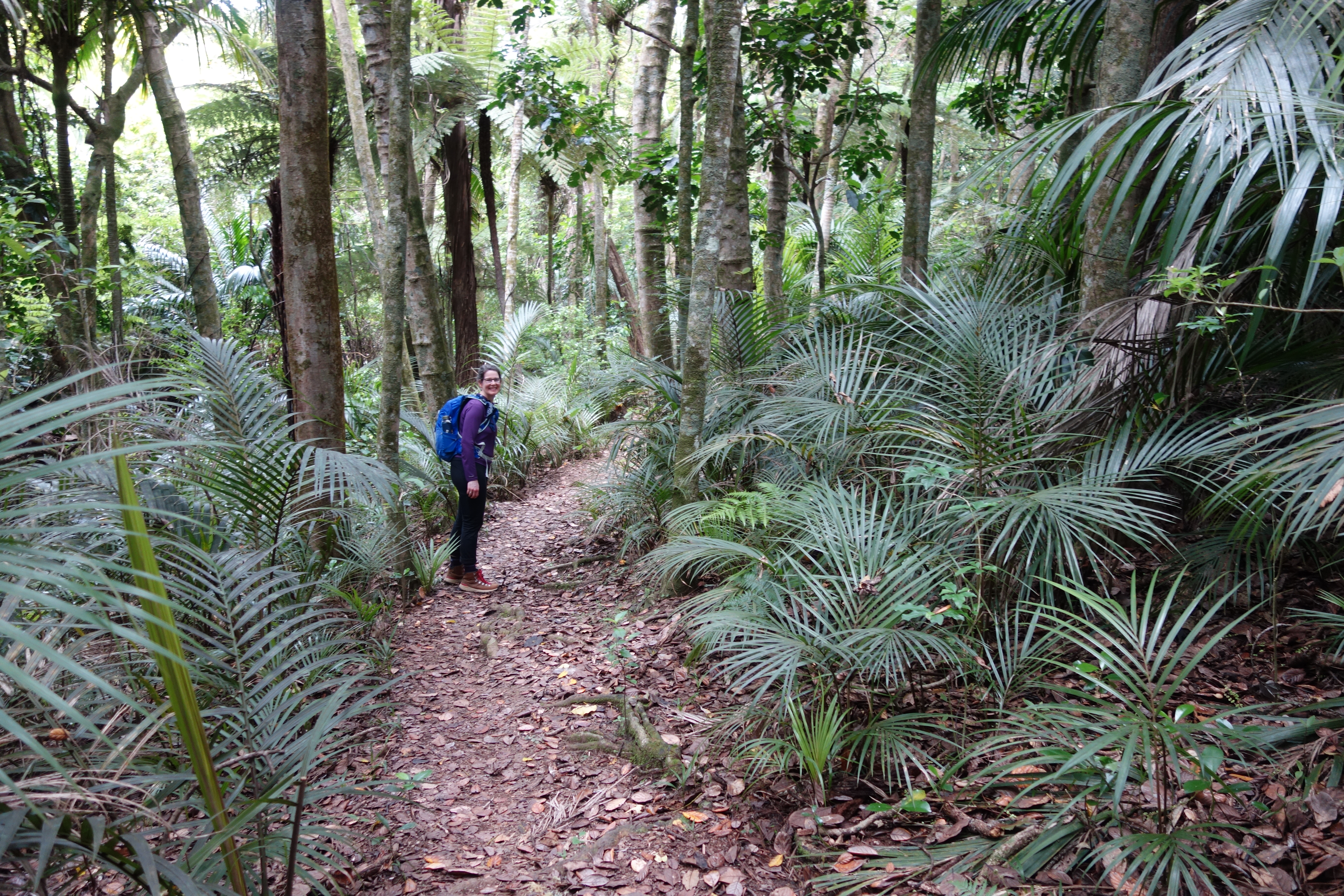
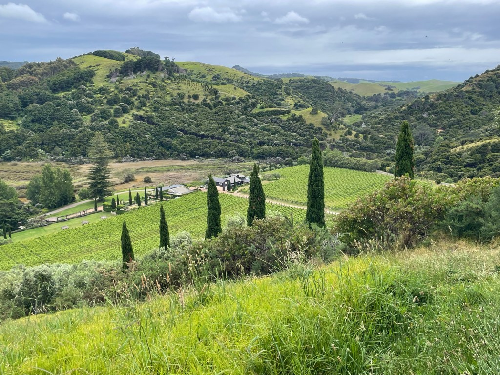
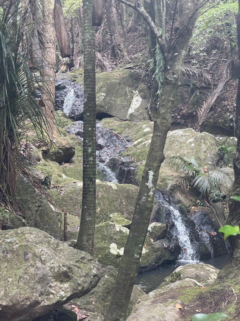
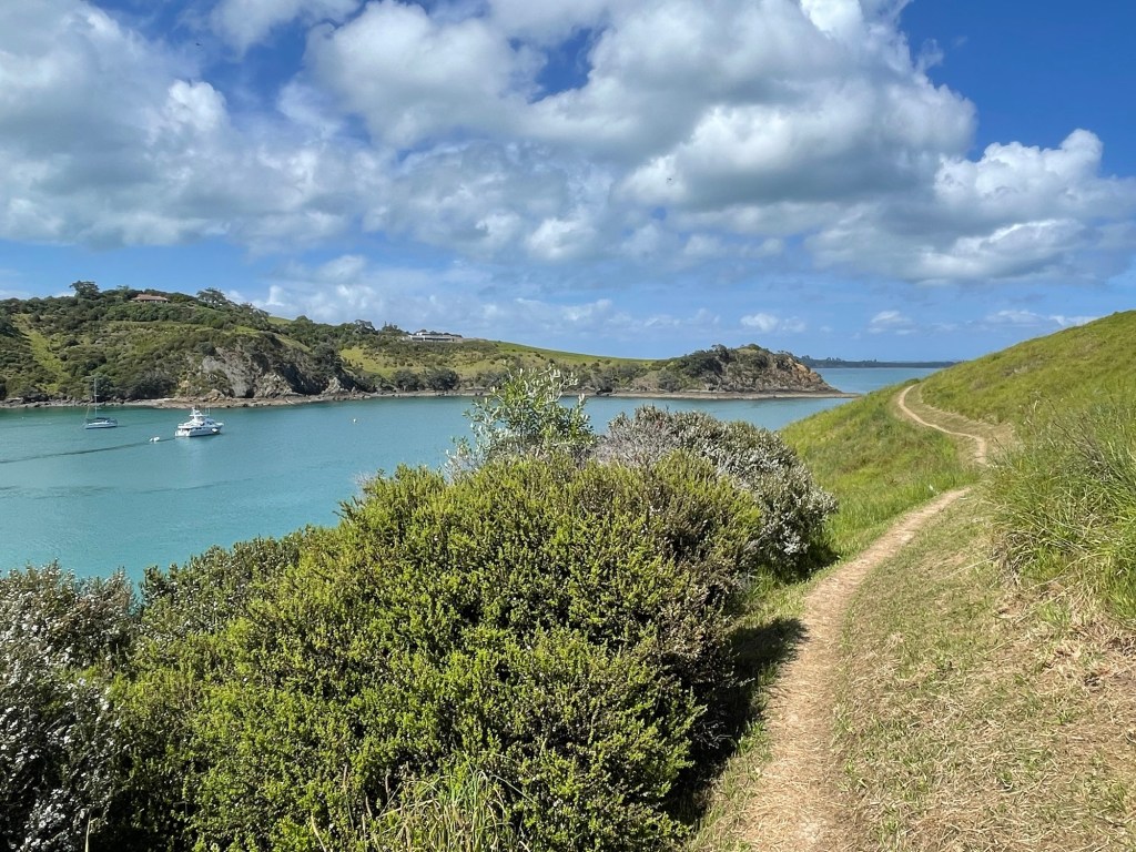
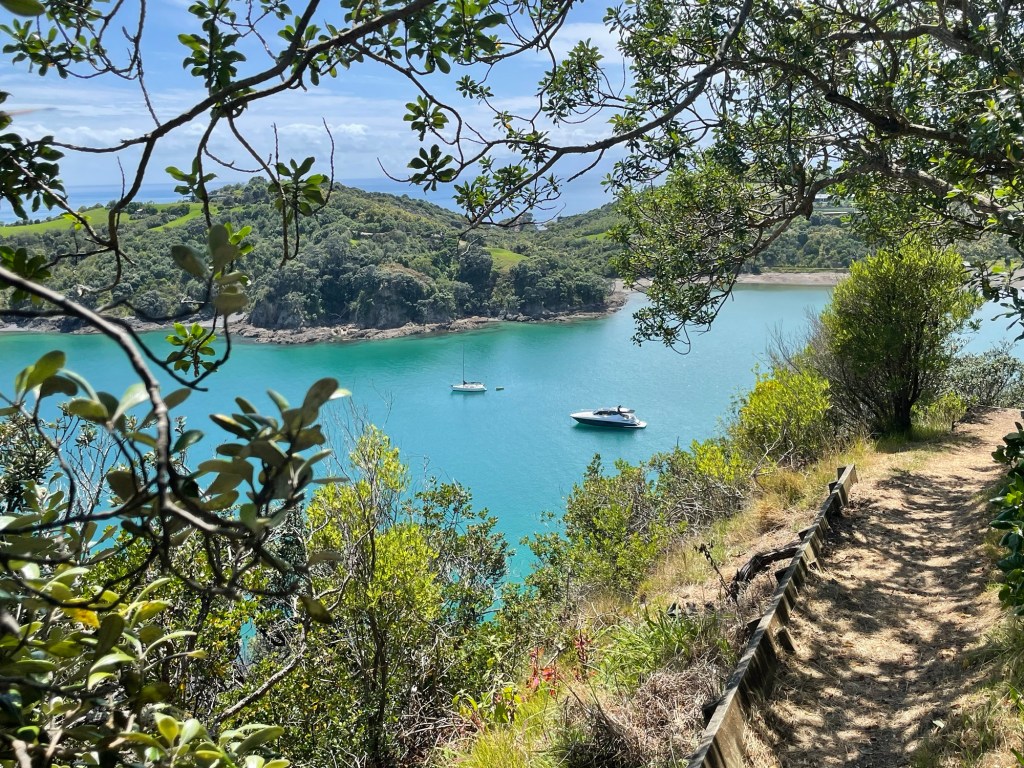
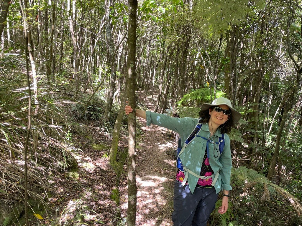
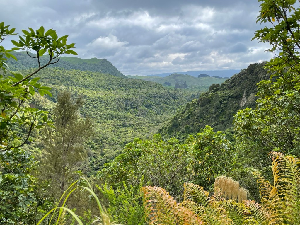
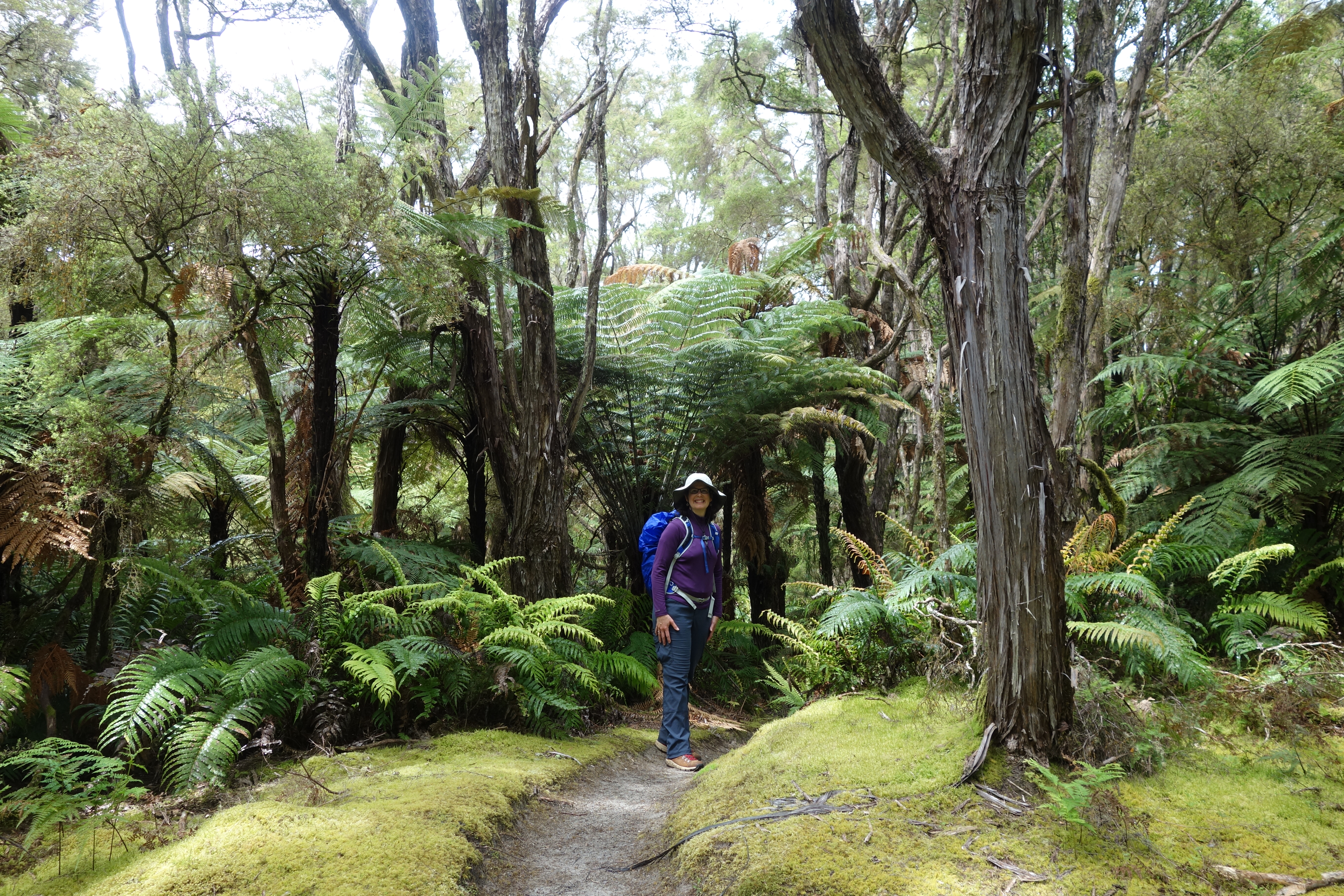
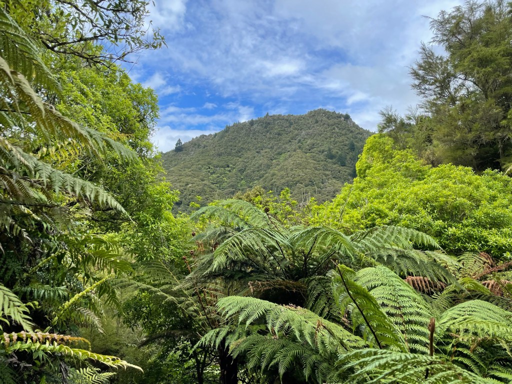
Our journey took us through multiple microbiomes, including this kanuka forest carpeted with spongy moss, which was a particular favorite of Nick’s.  In other places the bush reminded us of the Jurassic Park movie, with plenty of fern palms but a temperate climate.  

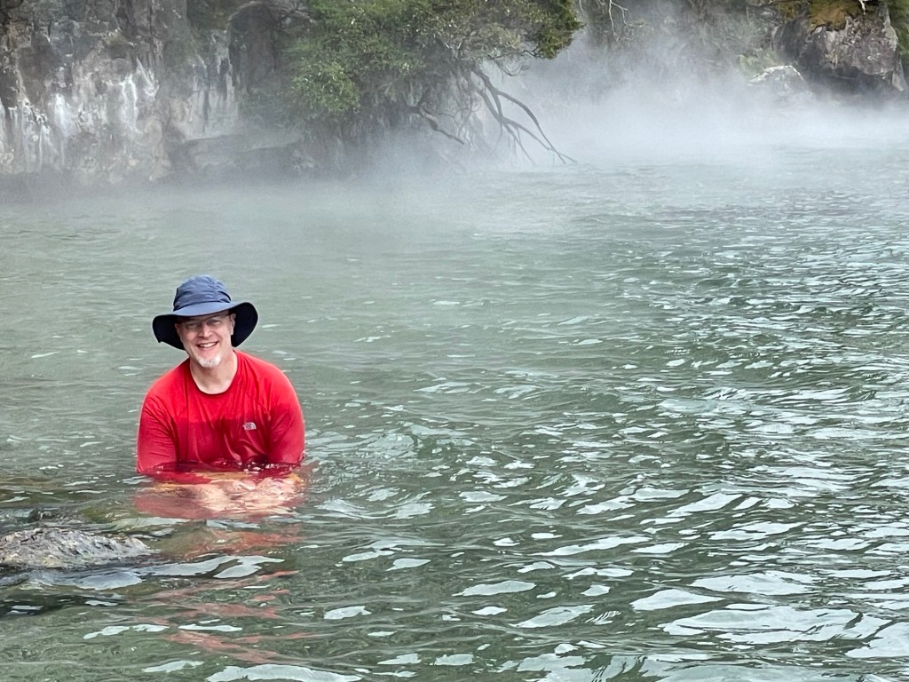
We arrived at the hot beach ready soak away any sore muscles.  We had the place mostly to ourselves – only one other couple was there before us and one other arrived after.  We all agreed that the experience was different from what we had imagined.  The hot springs mix dynamically with the colder lake water so that you can feel hot and cold on different parts at the same time – and as the waves and eddy currents move around you, the mixture changes over time.  We were cautious about swimming because the water in some areas is scalding hot, so we mostly waded in the shallows.  With a little bit of work, Nick found a spot that was well heated and fairly consistent.  Susannah discovered that the sand is hotter as your feet sink in deeper, so you can maintain a good wading foot temperature by shifting position slowly from time to time.  We played in the water for about 45 minutes until the water taxi arrived to whisk us back to our car.

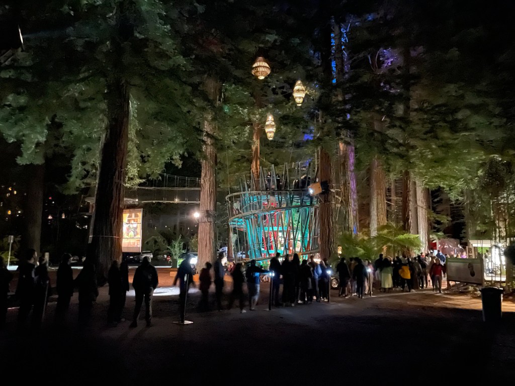
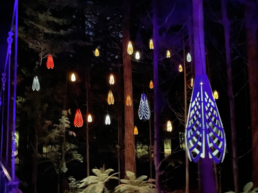
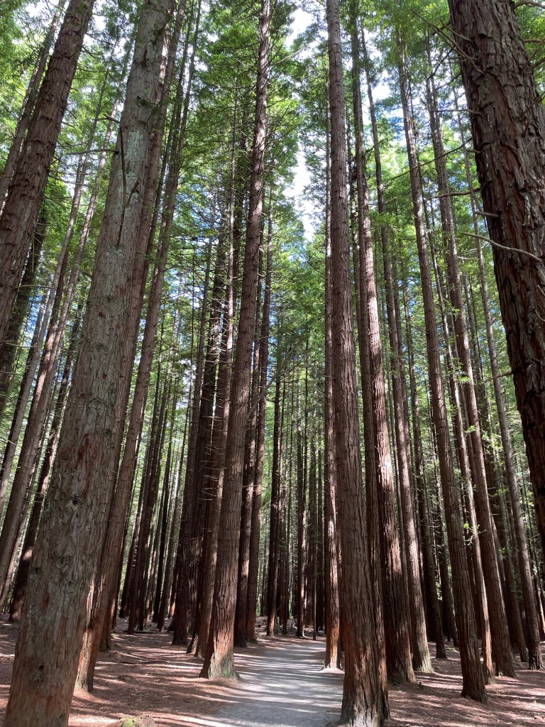
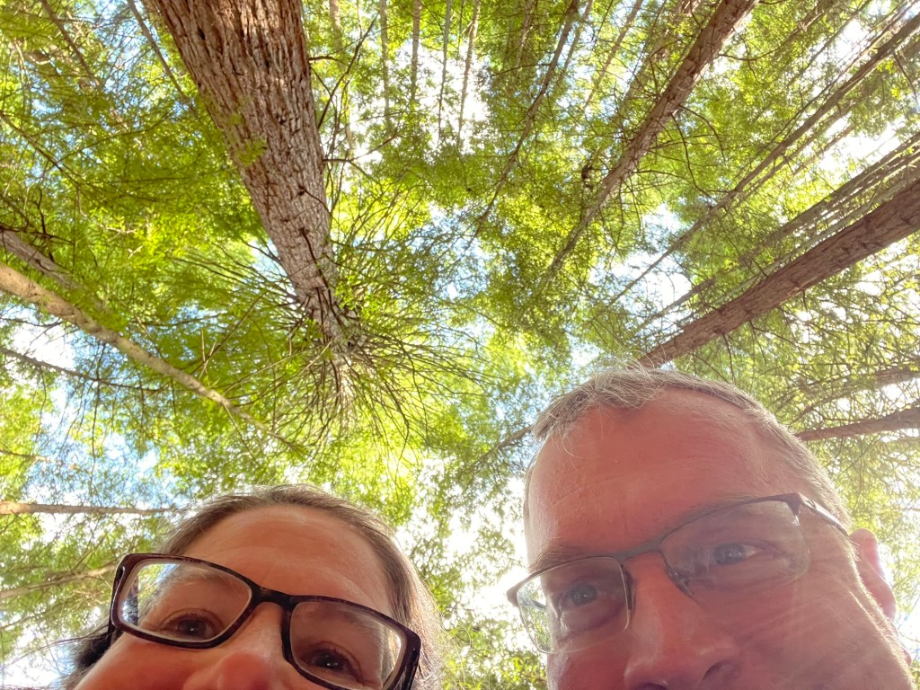
On the way home we made a stop to see the redwood grove, which we had wanted to see by daylight and it happened to be on our way home.  A leisurely stroll through this peaceful forest of giants topped off the afternoon.  The trail we followed on foot is actually just a tiny corner of a vast public trail network in the Whatarewarewa Forest, much of which is intended for mountain biking.

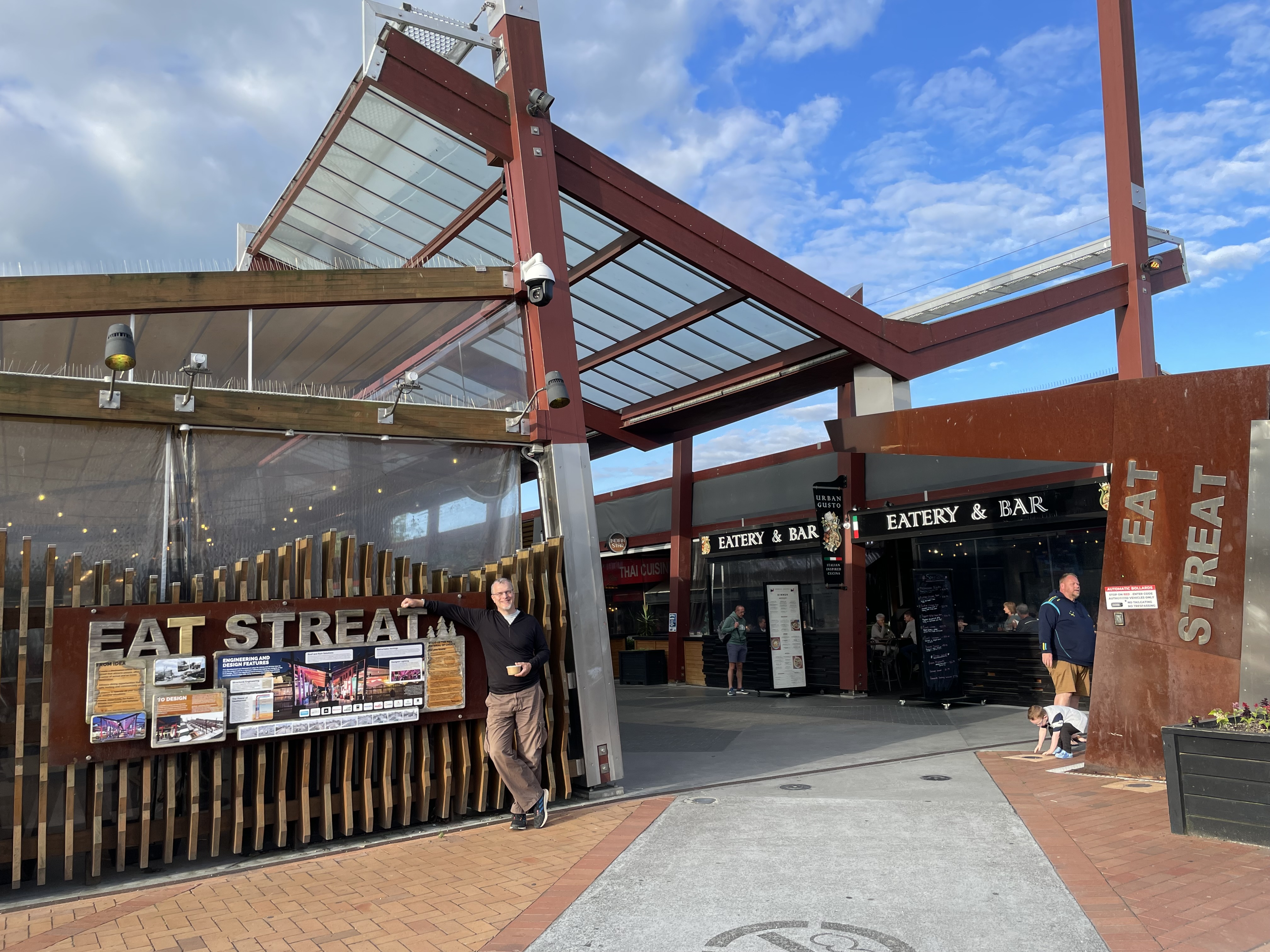
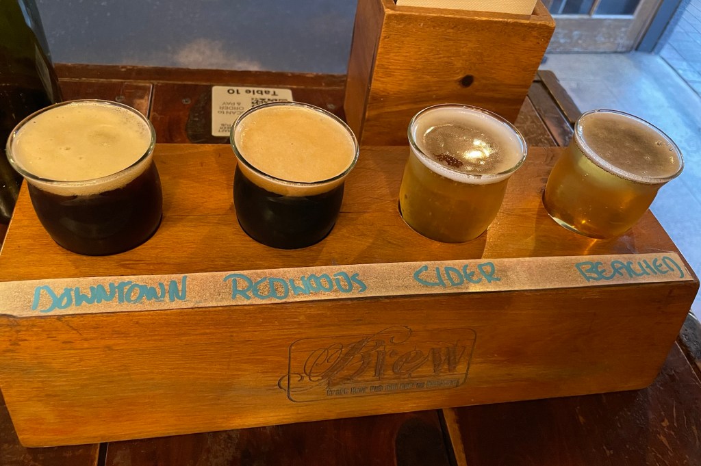
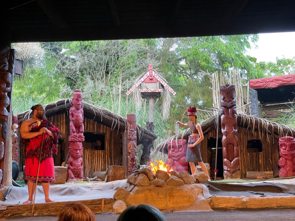
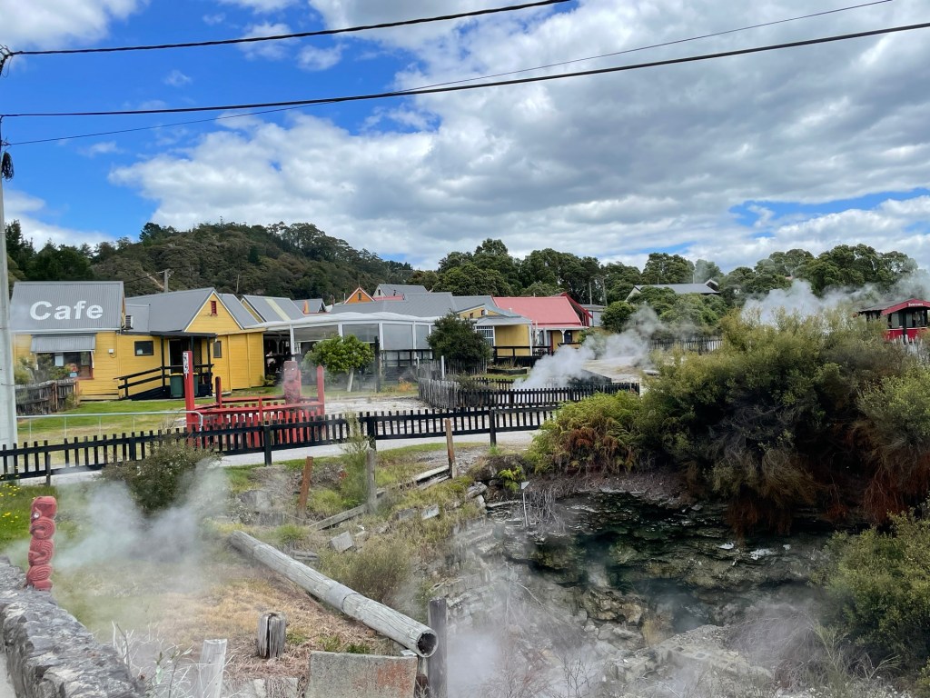
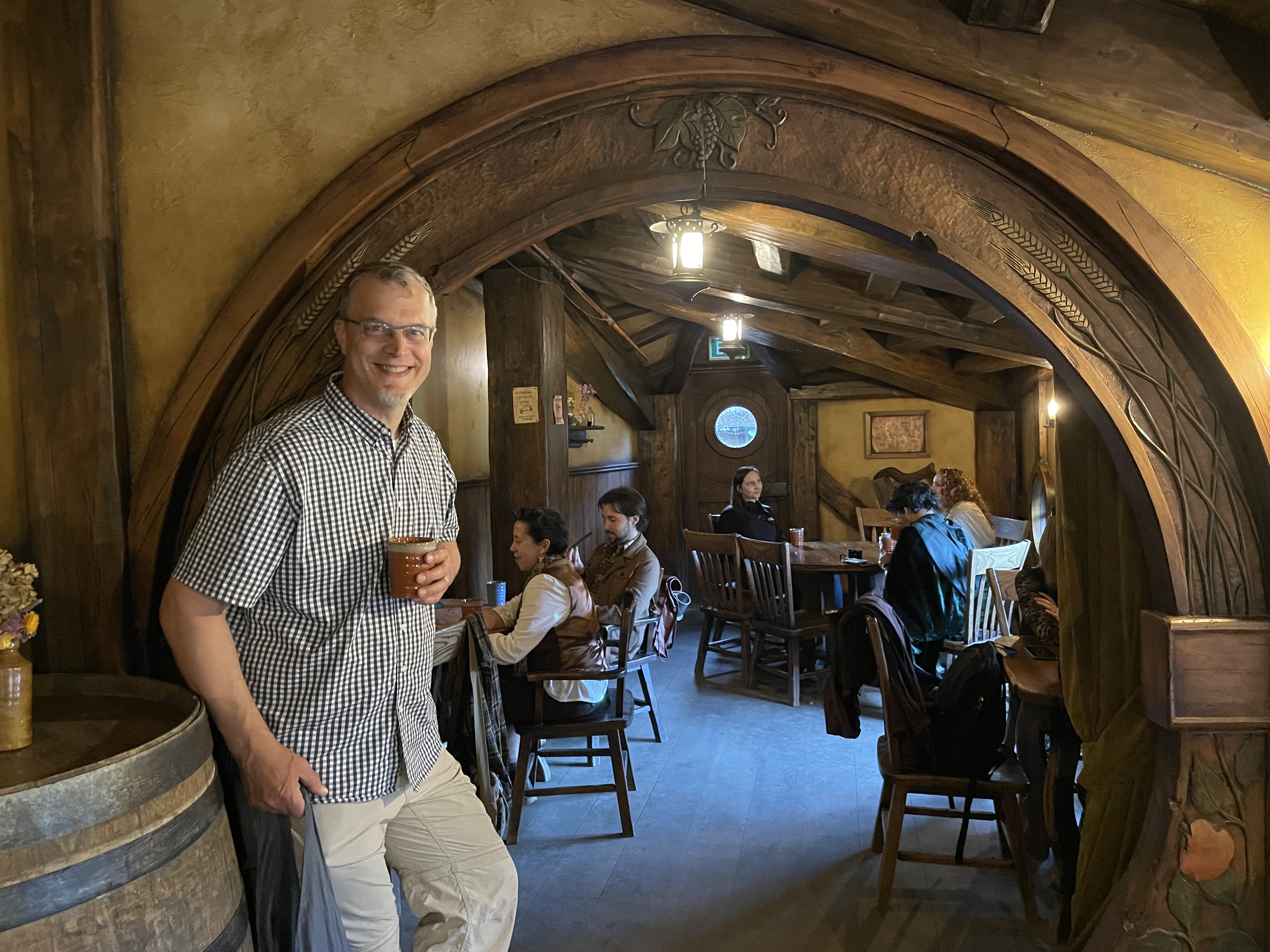
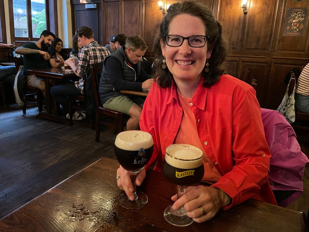
For dinner, we ended the day at an outdoor food arcade called Eat Streat, which is a dedicated pedestrian block lined with restaurants on both sides.  A great place to get a flight of beer – and toad in the hole!! 

Hanging Around Rotorua

This is us leaning off a walkway traversing the top of a volcanic plug some 100 feet above the ravine below. As you can see, we’re both clipped in to a safety wire so it’s not really all that dangerous. This particular moment came at the midpoint of our day’s activity, a zipline tour set in a block of old-growth forest near Rotorua. Some of the trees here are 1200 years old or more, and up to 150 feet high.

The zipline excursions are offered by Rotorua Canopy Tours as the fundraising arm of an initiative to restore the health of the forest by eradicating invasive species — in this case particularly rats, stoats, and possums. Because the native NZ species aren’t adapted to them, and because they have no natural predators here (believe it or not, the possum is now the apex predator) their numbers have grown unchecked and they have seriously decimated bird populations and even denuded the foliage from trees. In this particularly sensitive forest area the conservationists are working to control the rodent numbers, principally through the use of traps. As a result the native species have been recovering nicely, including this fern palm that Susannah snapped a photo of from the suspension bridge above.

This evening on the recommendation of one of Susannah’s former students, we headed to the Mitai Maori Village for dinner and a show. That is, they gave us demonstrations and teaching on Maori culture, and fed us a meal baked in a traditional hangi. This is a method of slow-cooking food under cover using heated volcanic rocks. The demonstrations included a lesson on how to make a peaceful greeting as a visitor, music, exercises with various traditional weapons, and ended with a haka.

Road to Rotorua

We enjoyed Hobbiton so much last night that we came back this morning for some souvenir shopping in the gift store.  (No seriously, that was the plan all along!)  With nothing else planned for the morning, we made a leisurely drive southwards through farming country to our next lodging in Rotorua.

Located in one of the largest volcanic regions in the world, Rotorua is dotted everywhere with fumaroles, bubbling mud pits, and steaming hot pools in an array of different colors depending on mineral content.  There is a lot of sulfur in the area, and at any given moment when walking through town, your nose may be suddenly assailed by its distinctive odor.

There are multiple places to see the geothermal features up close, both publicly and privately operated.  We decided to go to Whakarewarewa, a living Māori village built over a cluster of hot spots that offers visitors a network of self-guided trails.

The diversity of ways that the volcanism expresses itself is impressive, from furiously boiling springs and elaborate mud sculptures to beautiful lakes whose clear waters steam serenely.   Numerous signs warned us not to step off the boardwalk and path, lest we suffer severe burns.  In fact, the local Māori use the steam for cooking food; one blurb on our map noted that a particular spring was hot enough  to roast the hair off of a pig’s back!

Speaking of pigs, we had dinner at the Pig and Whistle, a local pub established in a former police station.  Afterwards, we decided to stroll along the shores of Lake Rotorua as the sun was setting.  On the way,  we saw yet another fabulous playground; New Zealand is a great place to be a kid (of any age)!  

The lakeshore was teeming with birds.  In addition to black swans and various gulls, we also saw a rare mama float plane with her baby. We followed the shore walk as far as the aptly named Sulfur Point, which had more geothermal activity.

Our final planned activity for the day needed to wait until dark. You can visit the Redwoods Treewalk during the day, but at night it comes alive with an array of illuminated lanterns designed by a professional artist based on natural forms of local species. The location is a grove of California redwood trees planted in 1901 as part of a forestry experiment. They have been growing strongly ever since, and have now reached a substantial size. Without harming the trees, the operators of the site have managed to suspend a series of platforms up to 20m high, connected by bridges (28 in all) to form a loop. Walking through the forest canopy at night surrounded by the lights is a surreal and beautiful experience, reminiscent of our visit to the Parc de la Gorge de Coaticook.

Concerning Hobbits

Last night we visited Hobbiton. Spoiler alert: For any dear readers who wish to visit themselves someday, and want to keep everything a surprise, please stop reading now. We want you to have as lovely an experience as we did.

Still with us? We’re so excited to share our experience! For any non-Tolkien fans out there (are there any?), Hobbiton is located a farm on the east side of New Zealand’s North Island. At least, that is as close as any place on this earth. A movie scout selected this site for scenes set in Hobbiton during filming of the Lord of the Rings movies. The set designers spent a lot of time and effort (even recruiting the NZ Army to do some serious earthmoving and build a road to the site). It was all temporary, built of plaster and untreated wood, and began to fall apart as soon as the shoot was over. Nevertheless, fans of the movies (and the books) kept coming to the site, wanting to view the location where Hobbiton had briefly been made real.

When the Hobbit movies were greenlit, Peter Jackson and company needed more scenes shot in Hobbiton, and returned to the same location. Everything needed to be rebuilt, only this time they made it to last. Ever since, the Hobbiton set has been a mecca for Tolkien fans, and we knew it had to be on our itinerary.

The farm offers a number of visit options, and we chose to come in the evening with a dinner included at the Green Dragon Inn. Entering at Gandalf’s cut, we made our way past one charming hobbit hole after another. To help maintain the illusion that the hobbits are small, they are built different scales depending on whether the human actors are intended to look small (if playing hobbits) or big (if humans or wizards). Each one is unique, rendered with loving attention to detail.

Each one is unique, rendered with loving attention to detail. Usually you can tell what sort of craft is practiced by the inhabitant, whether cheesemaking, baking, or beekeeping.

We were visiting with a group of 48 people, yet it felt very intimate. Everyone here was a fan, and understood that this was a special place. Many even wore costumes, which added to the experience for everyone. People were exceptionally patient, waiting for people to finish taking pictures so that everyone could have a turn. It took quite a while to make our way through the paths of the village, and we loved every minute of it.

For the movies, all the shots in Hobbiton are external takes, and none of the doorways have anything much behind them. At least, that was the case until recently. As of last year, they have created interiors for two Hobbit holes, where visitors can go inside and poke around. The project was clearly a labor of love for the set designers and others who worked on the project. The result is both stupendous and charming: one feels that the inhabitants have just stepped out, and will be back any minute. Yet we were also invited to sit in the chairs, lie on the beds (no shoes!), and generally treat ourselves as welcome guests.

Following our visit to the Proudfoot hole, we made our way past the Mill, over the bridge, and down to the Green Dragon Inn, where we were toasted with drinks from the Southfarthing Brewery, then sat down to a lavish feast. The food was incredible and plentiful.

Following this grand meal, we rolled ourselves outside, where night had fallen and the mill and Hobbit holes were all lit up. Carrying lanterns we made our way back through the village, before saying our last goodbyes to Hobbiton.

Our visit felt magical. Beyond the beauty and cleverness of the place itself, the goodwill and camaraderie between the visitors was special. Hobbiton is a place that exists because so many people wanted it to. We are fortunate to have been able to visit, if only for an evening.

Water Features

Today is a light travel day as we shift to lodgings further south. Along the way we stopped at several attractions, the highlight being Wairere Falls shown above — more on this below. Before that, we visited the spa town of Te Aroha. This had been developed in Victorian times as a health resort, and reminded us a bit of our visit to Saratoga Springs. There were similar park-like grounds, with named and numbered springs offering water with different properties, and various bathing cabins for different sorts of guests.

One of the springs even offers a small geyser that spouts off periodically. We waited around to see if it would shoot while we were there to witness. It bubbled and fulminated, and every so often would throw up small spouts of water, but nothing like a full-scale eruption. Susannah managed to catch one of these overflows in the act.

Leaving Te Aroha behind us, we continued down the road a short distance to the Wairere Falls entry point. Based on the number of visitors, the falls seem to be a popular destination. At 153m, it is the tallest waterfall on the North Island and second tallest in NZ, and was running well today from the recent rains.

The car park is a good 45 minute walk from the viewing platform at the base of the falls. We have noticed that whereas at home we’re used to reading the given time estimates and assuming we may be able to complete the walk in a faster time, around here when they say 45 minutes they really mean it. The average Kiwi is clearly quite fit! Anyway, the hike to see the falls went pretty steeply upwards, at one point ascending on a multiflight wooden staircase, but it was totally worth it.

Our day is not yet over — we have one more event in store that we’re excited to share, but as it is scheduled to end very late this evening we have decided to end this post here and tell you all about it in a future installment.

Waves and Wheels

Our original plan for the day was to hire bicycles and cycle a section of the Hauraki Rail Trail from Paeroa to Waihi. This pleasant itinerary was derailed in the best of ways: at 8 AM we spoke with company that had canceled our kayak expedition the day before, and learned that against all odds the conditions had calmed overnight and they were running an expedition that morning. All we had to do was get there by 9 AM. The launch point was a 50 minute drive from our lodging, via a super-twisty mountain road. And we weren’t dressed yet. Challenge accepted! We rolled in at 8:59 AM, all in one piece and ready to go.

Our destination was Whenuakuara, the middle island in the photo above. It is an island with a secret.

Paddling together in a double kayak, we crossed the channel to the island. It has cliffs facing the sea in all directions. In places these have been eroded into sea caves. They are dark and narrow and tricky to navigate with the waves rolling in. But if you pick the right one, you will find the secret of the island.

The center of the island is hollow (!), and forms a sheltered lagoon with trees arching overhead. The Maori call this a “place of learning,” and it is certainly a special place. The locals refer to it more prosaically as “Donut Island”.

Landing on Whenuakuara is forbidden because it has been designated as a bird sanctuary. However, when our visit to the secret lagoon was over we crossed another short channel to nearby Hauturu island, where we could pull up on the sand beach. Our guide Molly served us homemade kawakawa tea, and we paid our respects to the local gulp of cormorants.

Despite being one for the memory books, our trip to Whenuakuara took only the morning. So as a result we found our way back to Paeroa (via the same twisty mountain road) around lunchtime, and were able to pick up the bicycles that we had already reserved before our plans for the day changed.

The Hauraki Rail Trail stretches for 160 kilometers in all, and is one of New Zealand’s 23 designated “great rides”. We chose to ride the section through the Karangahake Gorge, widely considered the finest leg of the journey. The original railroad along this route was built to service the gold mining industry, and its legacy is visible everywhere — from the ruins of the Victoria Battery, in its time the largest such facility in Australia or New Zealand, to the “rake” side-dumping railcars still sitting on the siding at Waihi station waiting for the next load of ore that may never come. Despite these rusting relics, the trail travels through an idyllic countryside, following the Ohinemuri River through the narrow gorge (pictured at top) into a series of prosperous pasturelands.

Remnants of the Victoria Battery.
Concrete supports for the cyanide tanks.

The most exciting point of the trail comes at the Karangahake Gorge itself, where the railroad engineers bored a 1km+ tunnel that cut off a loop of the river and allowed the railroad to travel at a steady grade through the bottleneck. The tunnel is perfectly straight, so you can just barely see the light at the other end as you enter from one side. Cyclists are advised to use their headlights when riding through.

Shortly after the tunnel, an easy side trail takes visitors to see Owharoa Falls. Since it had rained steadily the day before, we were able to witness it under high flow conditions.

The spur line we were following ends at Waihi, another former mining town and now one of the most pleasant communities we have seen here so far, with a deluxe playground full of kids having fun, and a picturesque main street. At one end of the aforementioned street there used to be a hill. When gold was discovered beneath it, the hill soon became riddled with mine tunnels, which were later abandoned and at one point served as the lair of a famous criminal. Today the hill has become something else entirely — worth a look if only for its vast scale. (The path around the rim is 5km long, but we declined to take it since we still had a long trip home to make.)

We ended the day with a pilgrimage to one final site: a statue honoring the locally produced soda pop. We bought a bottle too; Susannah reports that it tastes a bit like super-sweetened, extra-lemony Sprite. From there, we retired to our lodging with a well-earned dinner from the Kebab Station (slogan: “listen to your heart; it says “kebab, kebab, kebab!”) and a bottle of New Zealand rose wine. What a day!

Gold Rush

By this morning the weather had set in for a long day of rain. That by itself would not have disrupted our plans, but heavy offshore winds meant that the sea kayak trip we had intended was a no-go. Instead we left Auckland as planned in a spiffy white rental car (with constant self-reminders to drive on the left) and headed for the gold rush town of Thames, located on the Coromandel Peninsula to the east.

For some strange reason all the tourist attractions in Thames close incredibly early in the day, so we had to hurry just to make it to any of them on time. We arrived at The Goldrush Experience (open 10am-1pm) only ten minutes before closing time, but the friendly guide had sympathy and took us on the entire 40 minute tour anyway.

We began inside one of the mine tunnels on the property. It was dug by Cornish miners, which meant that the work was skillful and the ceilings are low. Working as a team of three, they could dig about 3 to 6 feet per day through the volcanic rock, searching for veins of quartz that might contain flakes of gold. The section we visited was a prospecting tunnel, dug on speculation. If the miners didn’t strike gold, they received no compensation for their time and effort.

The mine entrance
A ladder between levels
Our guide pointing out the timbers added in modern times.
Miners worked with hammer, chisel, pickaxe, and shovel. They cleared rubble in wheelbarrows.
A vein of quartz! Alas, this one contained no gold.

Emerging from the mine, we proceeded into the battery building. Four stories tall, it contained the machinery that liberated gold and other precious metals from the surrounding stone. Our guide took us through and explained how everything worked. Then to our great surprise he triggered a control that set the whole thing in motion! The mill and all its machinery is still operational, and we got to see the triphammers pounding stone into powder, water rushing through sluices carrying sand and grit, and the shake tables separating valuable metal from worthless tailings. (Actually not all that worthless; the process we witnessed leaves up to 40% of the precious metal in the tailings pile. Methods developed later on capture far more, but rely on zinc and cyanide to do the work.) In any case, there was no gold to see today; the battery was processing plain old road gravel for this demonstration.

Hammers pound the stone into small pieces.
The shake tables separate heavy grains of valuable metal from lighter tailings. The gold and silver is collected using mercury, to form amalgam.
Tools used in refining precious metals. A retort recovers mercury from the heated amalgam. Impurities are removed in a crucible, and the purified metal is formed into an ingot in a bullion mold.

Although we left the museum by 2pm, we could find no other open attractions and so settled for having lunch and exploring the main commercial zone of Thames. From there we headed onward to Paeroa, where appropriately enough our lodgings are connected to a cafe called The Refinery, which had once been the facility where the Royal Mint processed precious metals from all over New Zealand.

We closed out the day with a walk around Paeroa, discovering a riverfront wharf that harked back to the days when a busy inland shipping industry once thrived here.

Wind, Rain, and Wine (Waiheke Day 3)

For our third day of hiking on Waiheke the weather was not as promising as it had been on the first two. Indeed shortly after we set off in the morning, a fine yet driving rain blew in from the northwest. Fortunately we were well supplied with pack covers, jackets, and rain kilts so the weather didn’t bother us much. We had light rains on and off throughout the day, so kept having to pause and swap in and out of rain gear.

Our route this time took us counterclockwise around the western coast, which brought us to a new section of the island and allowed us to end near a highly recommended winery. The trail in this area mostly hugged the coastline, and was often literally cut into the side of the cliffs. In a few places the route has come a little too close to the edge, and parts of the former trail have actually collapsed into the waves below. We were forced to detour around one of these sections on the rocks below, taking advantage of the low tide.

Sharing the cliffside with us were massive Pohutakawa trees, sometimes hanging out crazily into empty space with their gnarled limbs often spreading across the trail. These slow-growing giants can live for a thousand years or more, and do particularly well on coastal cliffs where other trees just can’t grow. They have another distinction: around November and December the grow silvery buds that mature into red blooms, so they are know as New Zealand’s Christmas trees.

As planned, we ended our hike for the day close to the Mudbrick winery. They offered a tasting of six local Waiheke wines, which we were free to enjoy on their outdoor terrace (the rain had fortunately stopped by this point). Our table was visited by a rather bold duck who seemed to hope that we would have some food to share. She kindly posed for several pictures even when food was not forthcoming.

We closed out our visit to Waiheke with another short visit to the shops of Oneroa. (Susannah had hoped to visit a musical instrument museum that had been described in one of our guidebooks, but the hours had changed and it turned out to be open only on weekends.) After saying our farewells to Vicki (our local guide/host extraordinaire) we boarded the ferry for the trip back to Auckland — with the wind blowing up whitecaps the voyage was a bit rougher than the way out had been.

We had been advised to sample the local green-lipped mussels, and so on Vicki’s recommendation went for dinner to the Occidental, which serves them along with a fine selection of Belgian beers. Both were excellent.

Our last item to share concerns our hotel room in Auckland, which has a most unique decoration. They must have known somehow that Susannah is an engineer, and assigned us to this room accordingly. What fun!

Biome Switchers (Waiheke Day 2)

Our second day of hiking on Waiheke has been very different in feel from the first. We’re doing a different part of the island trail, much more inland although it is still technically a piece of the coastal trail system. Now that we’re away from the ocean, we begin to see more of the diversity contained within this small island. Those of you who have played the game Minecraft will be familiar with the concept of biomes, where as you travel through the landscape the surrounding shift dramatically and suddenly from one type to another. Our walk today was a bit like a real-life version of this, with portions of heavily forested bush, open upland fields, and sunny vineyards all seemingly transitioning from one to another within a few quick steps.

The day began in the bush, with travel through a forest of giant ferns that was part of a nature reserve. Before entering we had to scrub our boots and spray them with disinfectant, part of an effort to stop the spread of a disease that is killing the native kauri tree.

After a period of travel we emerged from the bush and the trail hopped a fence. Suddenly we were surrounded by pastures, with nary a fern in site. And apparently our steady climbing paid off, because we were rewarded with another view of Auckland in the far distance (see picture at top).

After spending a while in pasture, we reached another change in land use: our first vineyard of the day. The path through this section mostly seemed to run along property lines, which is to say that it charged uphill and plunged down again with no concession to the verticality of the slope. At one point the trail was so steep that they had installed hundreds of meters of rope to aid with the climb. With nothing else to hold onto, we found it quite helpful on our way down.

It is always rewarding to come across something interesting and unexpected, and today we had several. Our first find was an old, abandoned manganese mine only a short distance off the main trail This was about as archetypal as mines get: a low-roofed tunnel carved into solid rock, receding into the darkness. We followed it in for a short distance until it became too hard to see.

Our second unexpected discovery was prompted by a seemingly out-of-place sign at the side of the trail in the midst of another section of heavy bush. Against all appearances it promised that a winery with spectacular views was at hand for the price of a mere five minute walk. Somewhat doubtful, we decided to test it out — and sure enough, after a short hike we emerged from the trees to see row upon row of vines, with a posh restaurant waiting at the top. Lunch with a view!

The remainder of the day we continued to move in and out of different biomes, for a while following Waiheke’s only year-round stream before hitting the coast for a rendezvous with our ride back to the lodgings. We ended the day with a walk along the Onetangi beach right outside, and a nice dinner in one of the restaurants at the far end.

Walking Waiheke (Day 1)

About a 30 minute fast ferry ride from Auckland lies the island of Waiheke, blessed with a pleasingly fractal coastline that offers gorgeous views in nearly every direction. Some lucky souls get to live in this beautiful place and commute to their jobs in the city; this morning we were going in the other direction along with a host of day-trippers. The plan is to spend three days hiking the coastal Ta Ara Hura trail (called a “tramping track” by the locals) that encircles the island — partly as a warmup for some of the bigger hikes we have planned for later in the trip, and partly just because it’s so gosh-darn pretty in its own right.

About to start our hike

The ferry landing is on the western edge of the island at the harbor in Matiatia Bay (you can see the dotted line coming in on the map), and we planned to hike clockwise to reach our lodgings at Onetangi Beach about 18km away. At first, our route took us around and over the headlands at the northwest corner of the island. Until we rounded the corner to the north side, we could still see the buildings of the Auckland CBD rising across the water, along with later ferries moving back and forth. We think Auckland is much prettier from the water.

Although the island isn’t particularly elevated, the Ta Ara Hura trail we were following has a lot of short steep ups and downs, hopping over rocky headlands before descending again into the next cove. Parts of the route are accessible only at low tide — luckily, that included the times we wanted to pass, except for one section of beach toward the end of the day where we chose to scramble over a section of sharp volcanic rocks to reach the next bit, rather than taking the longer and less scenic high-tide detour.

Besides beaches and hiking, Waiheke is also known for its vineyards and we passed many fields of grapevines during our walk. The wineries are mostly open on weekends so we didn’t get to stop at any today, but we had the chance to sample some of the local vintages at dinner and they are quite tasty. We also sampled the local sorbet while passing through Oneroa, the largest town on the island. Passion fruit and mango, mmmm!

The climate here is oddly unsettling, in a pleasant way. There are many tropical plants mixed with temperate ones, and on the whole it feels lush like a rainforest. Yet the temperature is lovely for hiking, in the 60s all day long even in full sun, with pleasant breezes to boot. Portions of the trail passed through nature reserves, where local volunteers are working to restore the plant species that were living here before European settlement. It is spring here, and it seems like all the flowers are in bloom at once, scenting the air with their perfume.

Our logistics for this portion of the trip are being handled by Vicki of iWalkWaiheke Tours. She transported most of our bags to our lodging so that we only needed to carry day packs, and at the end of the day cooked and served us a delicious three-course meal. We highly recommend her to anyone who wants to visit the island.

Tomorrow we look forward to day two on Waiheke.