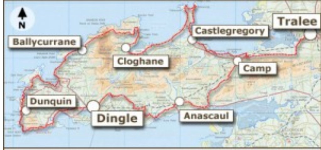
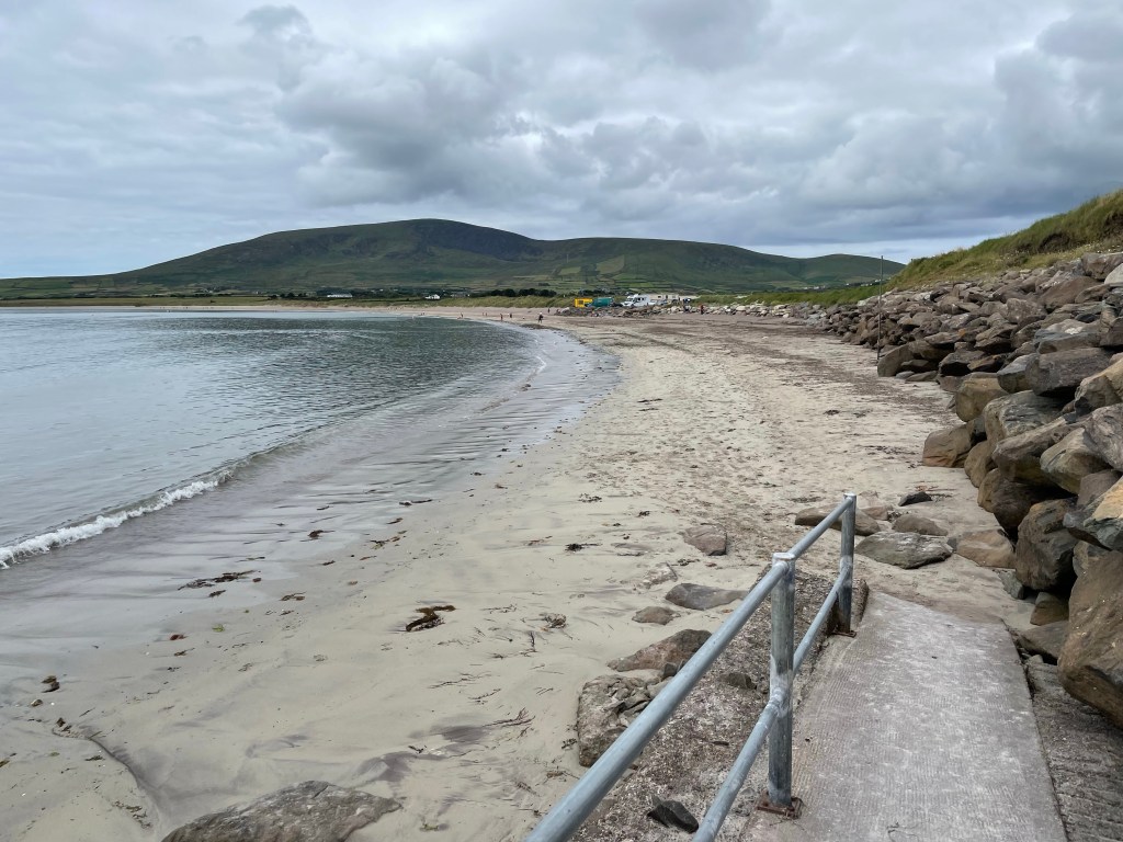
Today we began our first steps on the trail that had inspired our trip: the Dingle Way (shown above). We’re doing about a third of the trail, comprising the westernmost segments, from Dingle to Cloghane. Today’s leg was projected to be 14 miles and traversed a surprising variety of terrain types: motorways, country lanes, rocky and grassy footpaths through pastures, and a long segment of beach. We show below pictures along the route in approximate order.
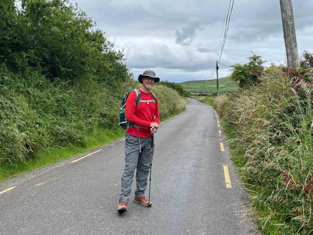
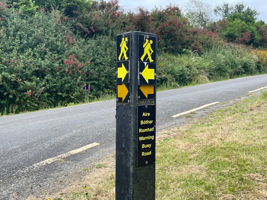
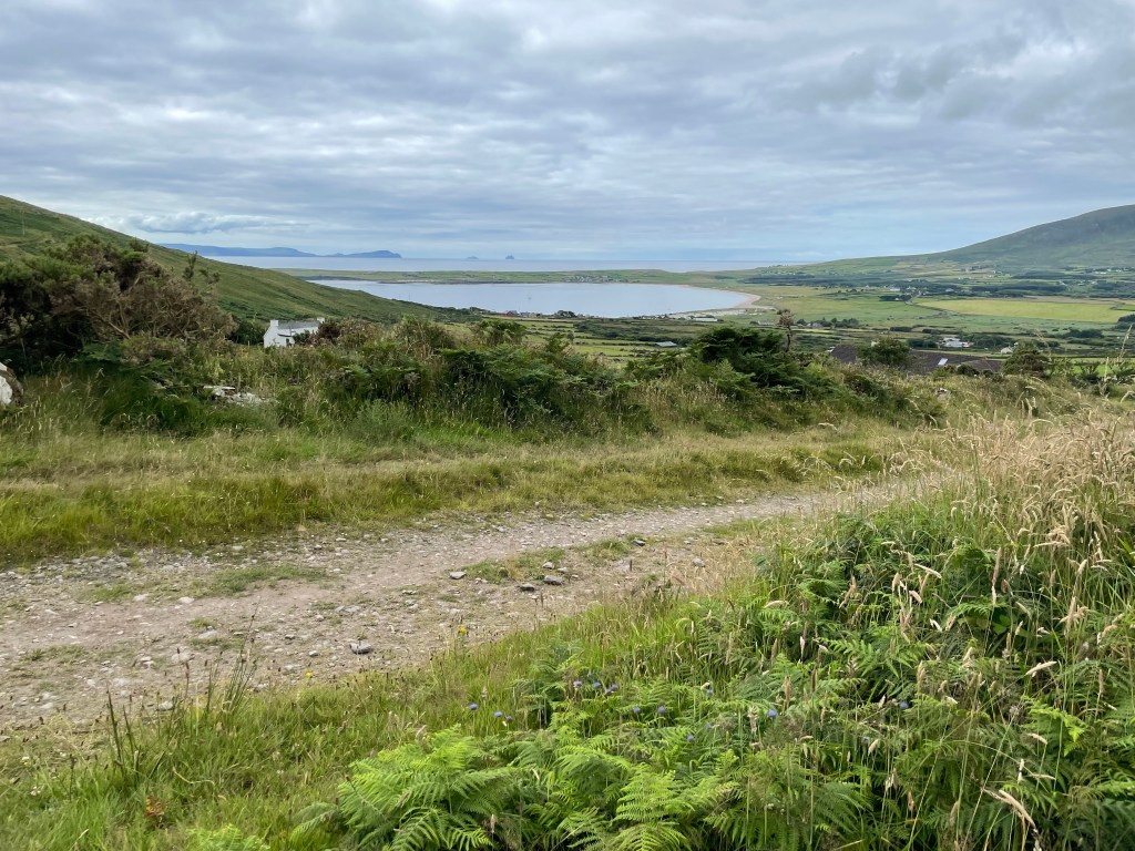
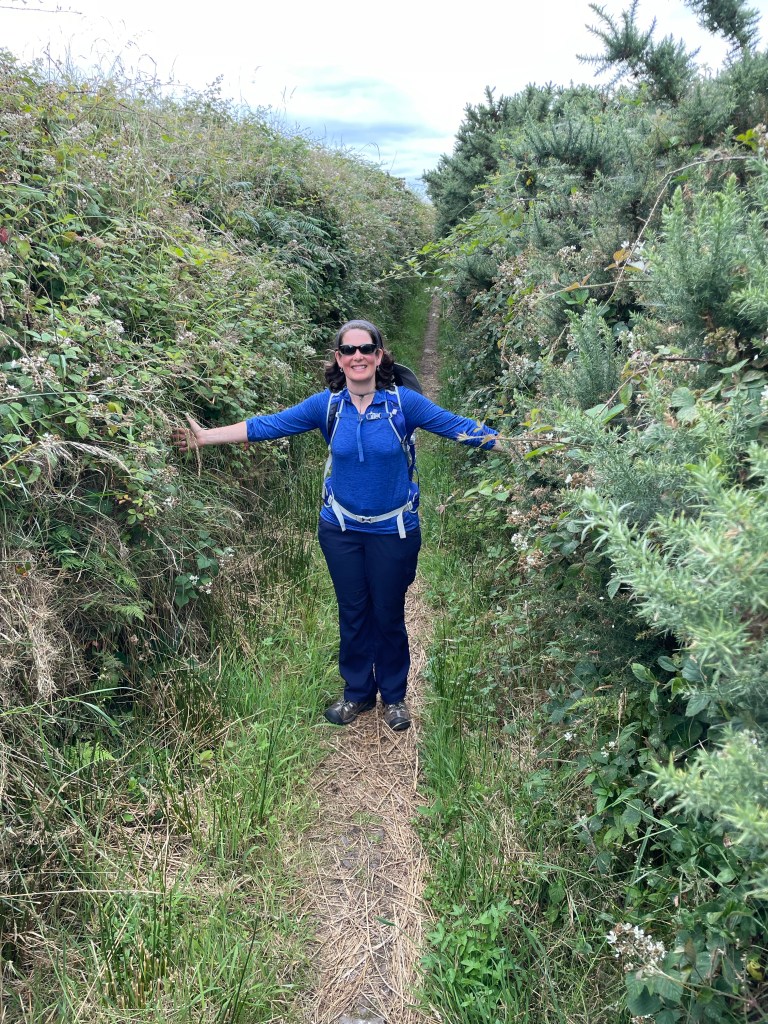
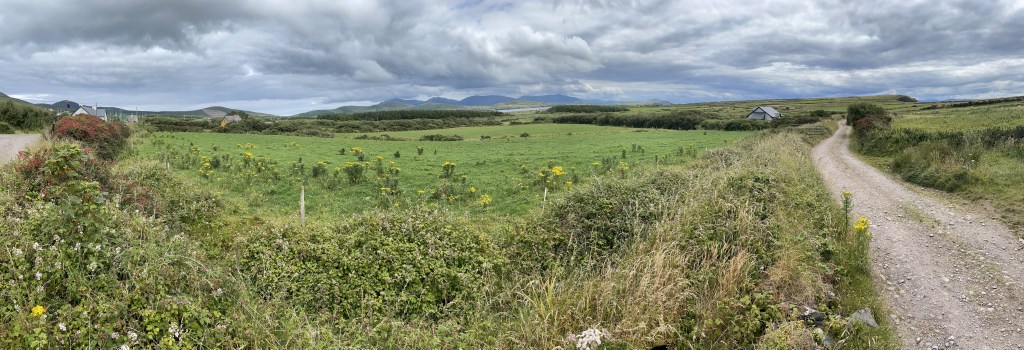
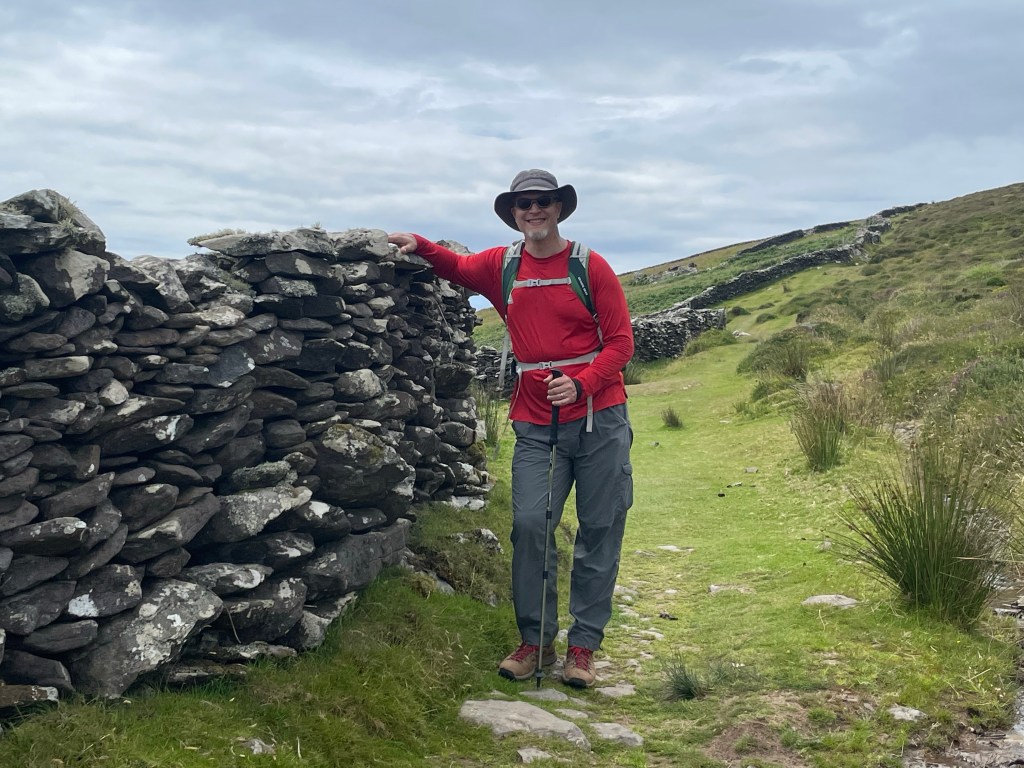
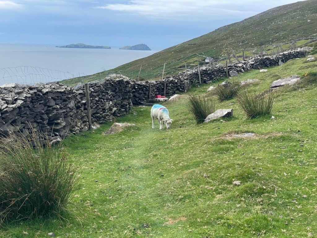
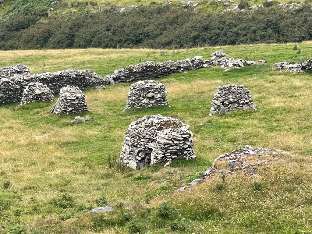
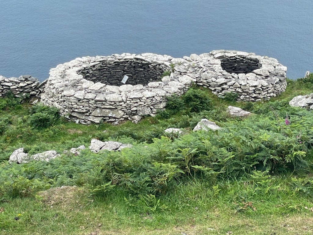
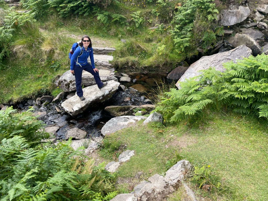
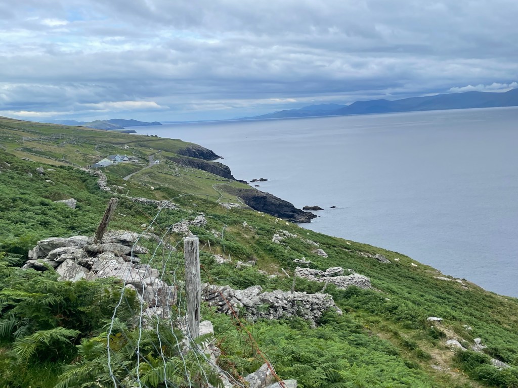
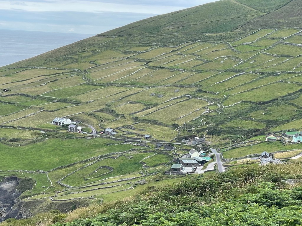
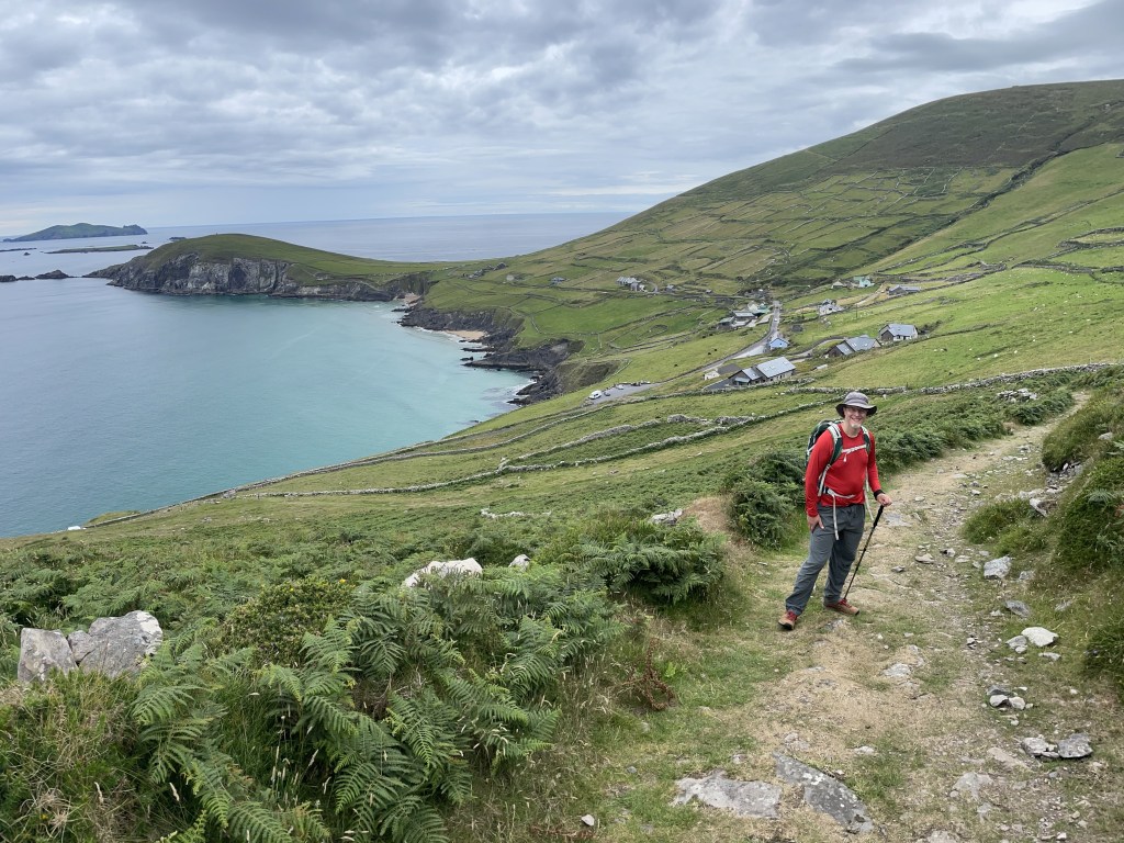
We joined the trail on the west side of Dingle not far from the local whiskey distillery.For the early morning we were on paved roads, stepping into the hedgerows whenever cars came by in either direction.We had a guidebook, but found the actual trail markers were more reliable.Leaving the road, the path climbs a hill for a view of Ventry harbor before descending into the village. The general store/post office there has an excellent assortment of salads – and fresh-baked cake!Ventry harbor is ringed by a 2-mile long beach, which the trail follows. We had to cross two small foot bridges where streams flowed over the sand. At times, the lush plant growth encroaches on the trail – watch out for blackthorns!This panorama gives a sense of the countryside in the lowlands after Ventry.The latter half of our day was on steeper land sloping sharply down to the water’s edge as we traversed the slopes of Mount Eagle and rounded Slea Head on the southwest corner of the peninsula.We encountered some pretty epic dry stone walls in this region, reminding Nick of the class he took last summer. More stone wall and a sheep blocking the path. We took a detour so as not to disturb her. Turns out walls aren’t the only things people built from stone. These dry stone beehive huts, built for unknown reasons hundreds of years ago, were all over this part of the trail. Most are in disrepair or have fallen down.Our guidebook said there was supposed to be an intact example of a beehive hut near the trail. Did we miss it? We spent nearly an hour backtracking and searching, but in the end these were the best preserved ones we saw close by. The biggest stream crossing along the slope.Looking back, you can see more of County Kerry (the Iveragh penisula) across the sound.Looking forward, the Blasket Islands began to come into view as we rounded the corner of the peninsula. Weather permitting, Great Blasket in the center is our destination for tomorrow.You can see here the crazy quilt patchwork of fields on the mountainside. Can you find the field-within-a-field?We finally began descending after we rounded Slea Head. (Apparently a scene from The Last Jedi was shot on Dunmore Head, the promontory visible in the upper left of this picture.)The village of Dunquin at last! A hot shower and generous roast chicken dinner were waiting for us at our B&B.
Great pix and adventures as always. Are you carrying all your things (impressive) or are you having some of your stuff shipped to your next B&B (strategic)?
We took the strategic route – really glad to have someone else ferry our belongings! We saw some other hikers with full packs and did not envy them. 🙂 Thanks so much for your comments – we love knowing you are reading this!!